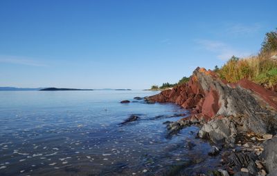
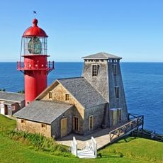
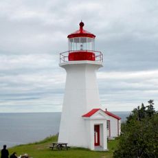
St. Lawrence River, International river between Ontario, Quebec and New York, North America.
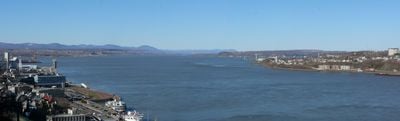
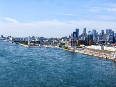
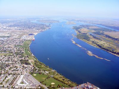
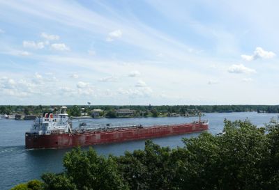
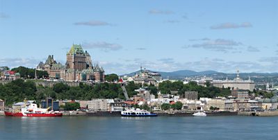
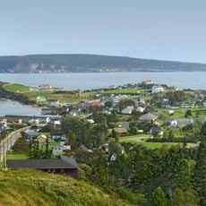
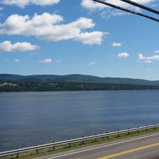
The St. Lawrence River is a major waterway that flows from Lake Ontario to its mouth in the Atlantic Ocean, connecting the Canadian provinces of Ontario and Quebec with the US state of New York. The channel shifts from wide and calm near Kingston to a narrower corridor at Montreal, then opens again before Quebec City.
Europeans reached the region in the early 16th century, when Samuel de Champlain charted the banks in 1603 and established the channel as the main route for fur trade and colonization. The construction of the seaway in the 1950s reshaped the waterway through a system of locks and canals.
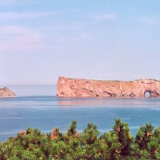
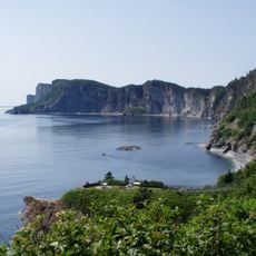
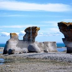
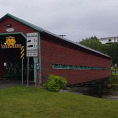
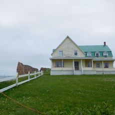
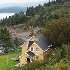
The name comes from the feast day of Saint Lawrence, which French explorer Jacques Cartier invoked in 1535 when he reached the waters. The banks are defined by language: English in the west and French further east, visible in place names and the daily life along the shore.
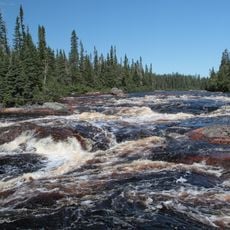
The current varies along the course, with calmer sections near the Great Lakes and stronger movement downstream. Water levels shift with the seasons, affecting shipping traffic and access to the banks.
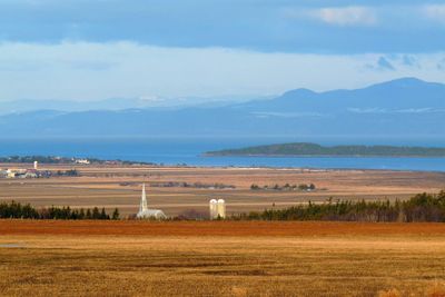
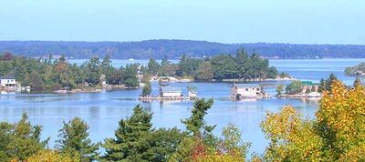
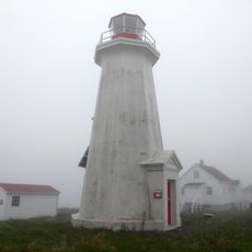
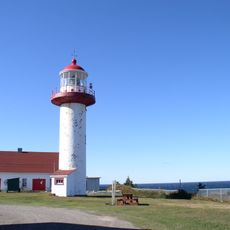
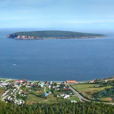
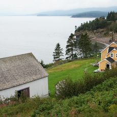
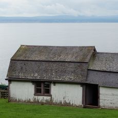
In the eastern section, North Atlantic right whales sometimes swim in summer months, resting after migration. Further west, the Thousand Islands form a cluster of more than a thousand small islands that stretch for several kilometers and divide the water into narrow channels.
The community of curious travelers
AroundUs brings together thousands of curated places, local tips, and hidden gems, enriched daily by 60,000 contributors worldwide.