
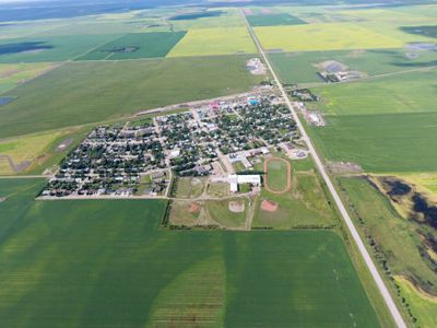
Elrose, town in Saskatchewan, Canada
Location: rural municipality in Saskatchewan
Inception: 1909
Elevation above the sea: 624 m
Shares border with: Wartime
Website: http://elrose.ca
GPS coordinates: 51.20030,-108.03300
Latest update: May 7, 2025 16:58

Blackstrap Provincial Park
125.5 km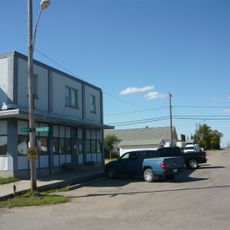
Vanscoy
114.9 km
Saskatchewan Landing Provincial Park
59.5 km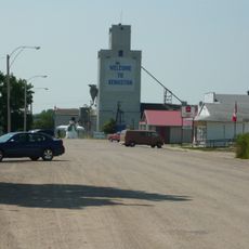
Kenaston
126.2 km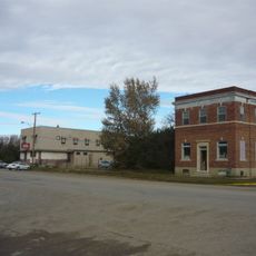
Perdue
100.3 km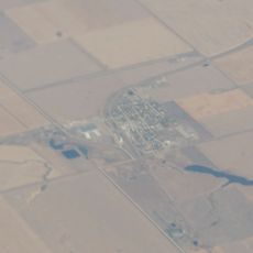
Lucky Lake
65.7 km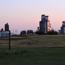
Hazlet
97.5 km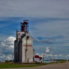
Dinsmore
45.3 km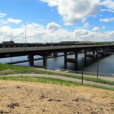
Gordie Howe Bridge
136.1 km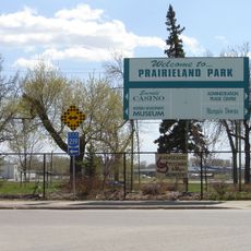
Marquis Downs
136.7 km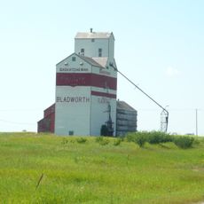
Bladworth
133.2 km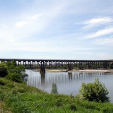
Grand Trunk Bridge
136 km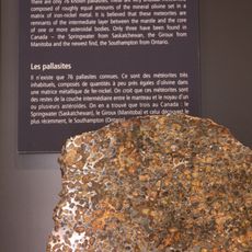
Springwater meteorite
88.4 km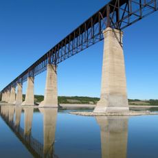
Skytrail
74.2 km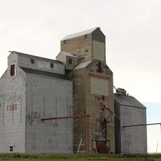
Fiske
41 km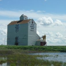
Kinley
100.2 km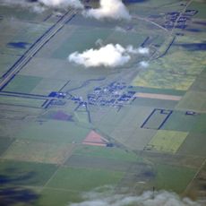
Wymark
123.2 km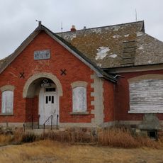
Netherhill
71.2 km
Beaver Flat
65.3 km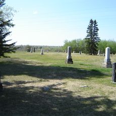
Nutana Pioneer Cemetery
136.8 km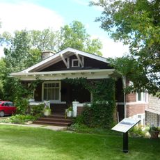
Bowerman House
137.4 km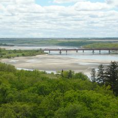
Outlook Bridge
73.1 km
Gray Burial Site
96 km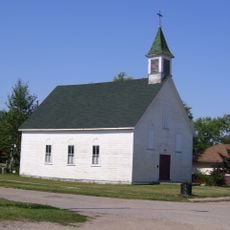
St. Brigitte Roman Catholic Church
67.1 km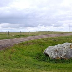
Buffalo Rubbing Stone Provincial Historic Site
114.7 km
Swift Current Museum & Archives
101.8 km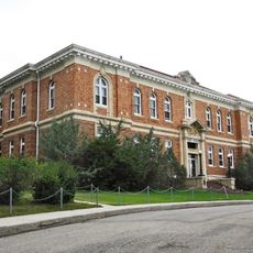
Kerrobert Court House
110.6 km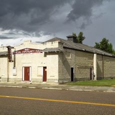
Luseland Theatre
135.9 kmReviews
Visited this place? Tap the stars to rate it and share your experience / photos with the community! Try now! You can cancel it anytime.
Discover hidden gems everywhere you go!
From secret cafés to breathtaking viewpoints, skip the crowded tourist spots and find places that match your style. Our app makes it easy with voice search, smart filtering, route optimization, and insider tips from travelers worldwide. Download now for the complete mobile experience.

A unique approach to discovering new places❞
— Le Figaro
All the places worth exploring❞
— France Info
A tailor-made excursion in just a few clicks❞
— 20 Minutes