Lake Winnipegosis, Glacial lake in Manitoba, Canada
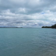
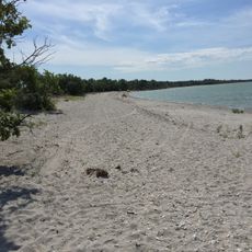
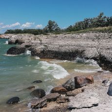
Lake Winnipegosis is an elongated lake in central Manitoba, Canada, about 300 km northwest of Winnipeg. It is the second-largest of the three large lakes in central Manitoba, after Lake Winnipeg and ahead of Lake Manitoba, and covers 5,370 km². The lake is relatively shallow, with an average depth of about 12 m, and Birch Island lies near its middle.
French fur trader Pierre Gaultier de Varennes explored the lake in 1739 and helped establish it as a key route for trading operations. His expedition marked the beginning of European involvement in mapping and using these waters for commerce.
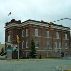
The name Winnipegosis adds a diminutive suffix to Winnipeg, 'big muddy waters', so it means 'little muddy waters'. The lake appears as Winipgassish on the Fidler map of 1820, while the modern spelling dates from as early as 1811. Communities such as Winnipegosis, Camperville, Duck Bay and Pelican Rapids line the shores.
The lake can be accessed from several spots along its shoreline, but reaching it requires planning since it is located in a remote area. Visitors should be prepared for changing weather and bring appropriate gear for water activities.
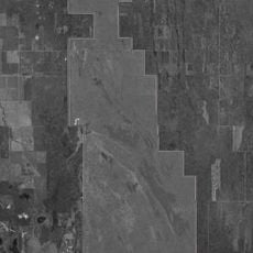
Birch Island, the largest island in the lake, sits near its middle and gives its name to Birch Island Provincial Park, created in 2010. The park also takes in the small islands around it, and the Chitek Lake Park Reserve lies on the eastern shore nearby.
The community of curious travelers
AroundUs brings together thousands of curated places, local tips, and hidden gems, enriched daily by 93,796 contributors worldwide.