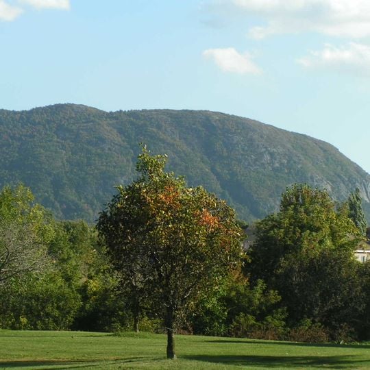
Mont Saint-Hilaire, Mountain peak in Montérégie region, Quebec, Canada.
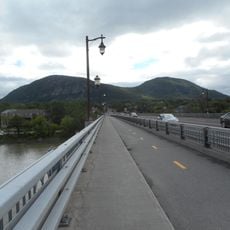
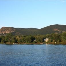
Mont Saint-Hilaire is a mountain in the Montérégie region of southern Quebec with multiple summits that encircle the central Lac Hertel. The highest peak rises about 414 meters above the surrounding landscape and offers different views of the lake and forests.
The mountain's apple orchards date to 1751, when the first ones were planted at its foot. McGill University has owned the mountain since 1958; it was recognized as a migratory bird refuge in 1960, a biosphere reserve in 1978 (the first in Canada) and a nature reserve in 2004. A forest fire burned Burned Hill in 1948, leaving younger woodland there.
The mountain's name honours Hilaire de Poitiers, a doctor of the Church. Its Abenaki names, Wigwômaden and Wigwômadenek, mean "long house". Orchards have stood at its foot since 1751, and the slopes are still ringed by apple orchards that draw tens of thousands of visitors each year.
The Gault Nature Reserve offers about 25 kilometers of maintained hiking trails across four peaks with varying difficulty levels. The trails are well marked, so visitors can choose different routes based on fitness and available time.
Of the more than 360 mineral species recorded here, about 50 were first described from this mountain, making it their type locality. Annite from Mont Saint-Hilaire is among the most iron-rich found in nature. The minerals are exposed by a quarry on the north-eastern flank.
The community of curious travelers
AroundUs brings together thousands of curated places, local tips, and hidden gems, enriched daily by 94,608 contributors worldwide.