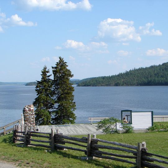
Lake Timiskaming, Large freshwater lake at Ontario-Quebec border, Canada.
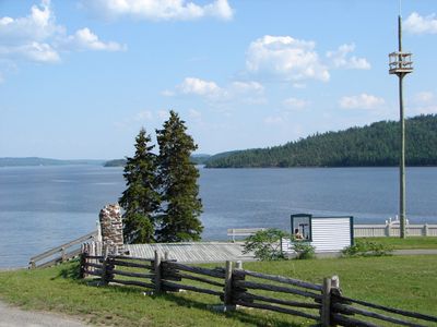
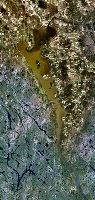
Lake Timiskaming is a 110 km freshwater lake on the Ontario-Quebec boundary, forming part of the Ottawa River between the Des-Quinze rapids to the north and the Opimica channel to the south. It reaches 216 m in depth and holds Mann and du Collège islands on the Quebec side. Its shores are forested, with Ville-Marie at the head of Baie des Pères on the east bank.
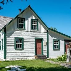
The Compagnie du Nord set up a fur post in 1679 on an island at the mouth of the Montreal River, on what is now the Ontario side. Destroyed by the Iroquois in 1688, it reopened in 1720 on the east shore. Run later by the North West and Hudson's Bay companies, it became the region's main trading centre, with other Hudson's Bay posts depending on it until 1888.
The Algonquin name is rendered Timiskaming in Ontario and Témiscamingue in Quebec; French sources gloss it as "au lac profond", at the deep lake, from timi (deep) and kami (lake). Seventeenth- and eighteenth-century maps marked the surrounding Algonquin territory as the Pays des Témiscamings, which is why the particle "des" often joined the two elements. Father Vimont's 1640 map names the people Timiscimi.
The lake stretches 110 km from the Des-Quinze rapids in the north to the Opimica channel in the south, with a maximum width of 9 km. The interprovincial boundary runs its length, and the two main islands, Mann and du Collège, lie on the Quebec side. Ville-Marie sits at the head of Baie des Pères on the east shore.
The lake sits within the Timiskaming Graben, an ancient rift in the Earth's crust that continues to experience small earthquakes today. This geological feature makes the region a place where visitors can sense the ongoing forces beneath the ground.
The community of curious travelers
AroundUs brings together thousands of curated places, local tips, and hidden gems, enriched daily by 94,897 contributors worldwide.