Timiskaming District

Log in to your account

AroundUs is a community-driven map of interesting places, built by curious explorers like you. It grows with every review, story, and photo you share.
Connect to save your favorite spots, contribute locations, and create personalized routes.
Continue with Google
Continue with Apple
Continue with X
Continue with Facebook
Continue with email
By continuing, you accept our Terms and Conditions and our Privacy Policy
Create an account
Add to collection
Map
Suggest a change
Share

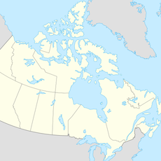
Timiskaming District, Administrative district in Northeastern Ontario, Canada

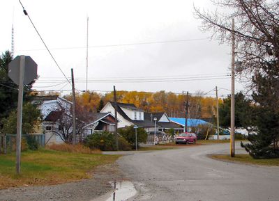
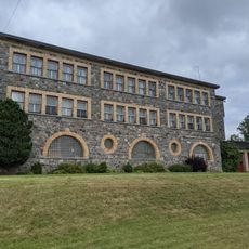
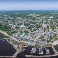
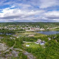
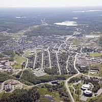
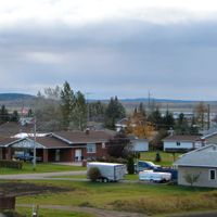
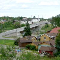
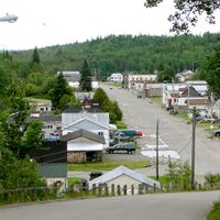
Timiskaming District is an administrative region in Northeastern Ontario that spans a large area containing several small towns, mining operations, forests, and farm lands. The region is anchored by Temiskaming Shores, which serves as its main administrative center.

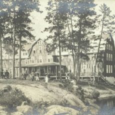
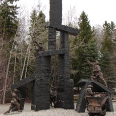
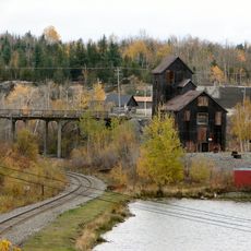
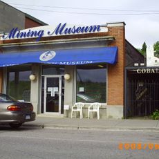
The district was established in 1912 when parts of Algoma, Nipissing, and Sudbury districts were combined, spurred on by silver discoveries in Cobalt. These early mining and settlement activities shaped the region's initial growth.

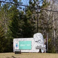
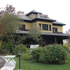
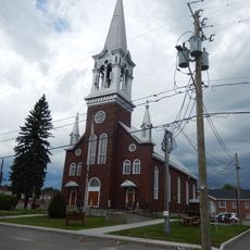
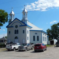
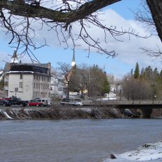
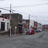
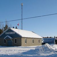
Communities here keep alive their connections to Indigenous roots and European settlement history through regular festivals and local events. This blend of traditions is visible in how people use public spaces and the stories shared in town centers.

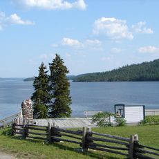
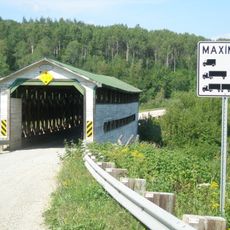
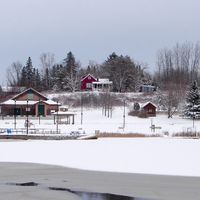
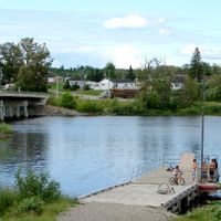
The best time to visit is during warmer months when roads are in better condition and outdoor activities are accessible. Visitors should plan ahead when traveling to remote areas, as distances between towns can be considerable.

The region contains two large unorganized territories in its eastern and western sections that operate under special governance rules without conventional municipal structures. This unusual administrative arrangement is something visitors often overlook but significantly shapes how the area functions.

Location: Ontario

Inception: 1912

Capital city: Temiskaming Shores

Shares border with: Témiscamingue, Rouyn-Noranda, Cochrane District, Nipissing District, Sudbury District

GPS coordinates: 47.80000,-80.30000

Latest update: December 7, 2025 20:41

Photos
Reviews

Visited this place? Tap the stars to rate it and share your experience / photos with the community! Try now! You can cancel it anytime.

« Timiskaming District - Administrative district in Northeastern Ontario, Canada » is provided by Around Us (aroundus.com). Images and texts are derived from Wikimedia project under a Creative Commons license. You are allowed to copy, distribute, and modify copies of this page, under the conditions set by the license, as long as this note is clearly visible.

Discover hidden gems everywhere you go!

From secret cafés to breathtaking viewpoints, skip the crowded tourist spots and find places that match your style. Our app makes it easy with voice search, smart filtering, route optimization, and insider tips from travelers worldwide. Download now for the complete mobile experience.

Around Us App Screenshot

A unique approach to discovering new places

Le Figaro

All the places worth exploring

France Info

A tailor-made excursion in just a few clicks

20 Minutes