
Regional District of Kootenay Boundary
Regional District of Kootenay Boundary, Regional district in southeastern British Columbia, Canada.
The Regional District of Kootenay Boundary encompasses 8,200 square kilometers of terrain, containing eight municipalities and five electoral areas between the Monashee Mountains and Kootenay River.
Established in 1966 as part of British Columbia's regional district system, the area developed through mining, forestry, and settlement patterns across the southeastern portion of the province.
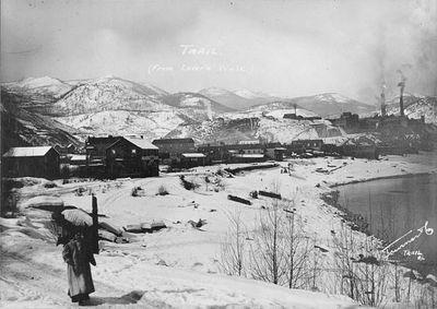
The district acknowledges its location on traditional First Nations territories while incorporating European heritage through its municipalities, including Trail, Grand Forks, and Rossland.
The administrative offices in Trail and Grand Forks coordinate essential services for 33,152 residents, managing water systems, waste collection, and emergency preparedness programs.
The district contains five distinct electoral areas, labeled A through E, each representing specific geographic zones from Champion Lakes to Big White Ski Resort.
Location: British Columbia
Shares border with: Regional District of Central Okanagan, Regional District of Okanagan-Similkameen, Regional District of Central Kootenay, Regional District of North Okanagan, Okanogan County, Ferry County, Stevens County
Website: https://rdkb.com
GPS coordinates: 49.50100,-117.05200
Latest update: March 12, 2025 09:48
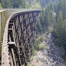
Kettle Valley Rail Trail
166.2 km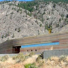
Nk'Mip Desert Cultural Centre
180.4 km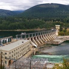
Corra Linn Dam
30.3 km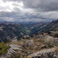
Valhalla Provincial Park
56.8 km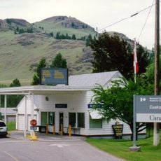
Ferry-Midway Border Crossing
136.1 km
Laurier-Cascade Border Crossing
101.8 km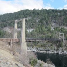
Brilliant Suspension Bridge
46.6 km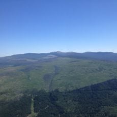
Myra-Bellevue Provincial Park
171.3 km
Slocan River
38.9 km
Champion Lakes Provincial Park
54.4 km
Gladstone Provincial Park
89.6 km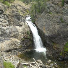
Boundary Falls
130.8 km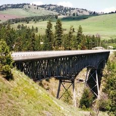
Rock Creek Canyon Bridge
158.3 km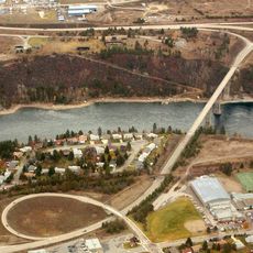
Kinnaird Bridge
48.5 km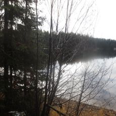
Browne Lake Provincial Park
158.8 km
Vaseux Lake Provincial Park
181 km
Inkaneep Provincial Park
183.1 km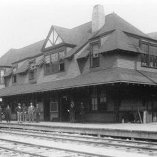
Nelson railway station
18 km
Curlew Bridge
131.9 km
Northport Bridge
83.2 km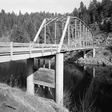
Orient Bridge
109.3 km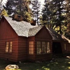
Lost Lake Guard Station
162.6 km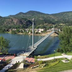
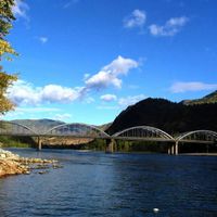
Columbia River Skywalk
65.4 km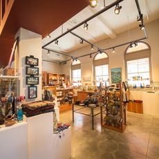
Nelson Museum Archives & Gallery
17.5 km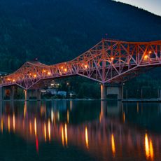
Nelson Bridge
16.7 km
St. Andrew's United Church (Rossland, British Columbia)
71.7 km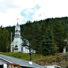
Sacred Heart Church (Greenwood, British Columbia)
126.1 km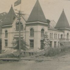
Rossland Court House
71.7 kmReviews
Visited this place? Tap the stars to rate it and share your experience / photos with the community! Try now! You can cancel it anytime.

Discover hidden gems everywhere you go!
From secret cafés to breathtaking viewpoints, skip the crowded tourist spots and find places that match your style. Our app makes it easy with voice search, smart filtering, route optimization, and insider tips from travelers worldwide. Download now for the complete mobile experience.

A unique approach to discovering new places❞
— Le Figaro
All the places worth exploring❞
— France Info
A tailor-made excursion in just a few clicks❞
— 20 Minutes