Chest opened
+${chestReward.xp} XP
Explorer
NOUVEAU ×${chestReward.collectible.quantity}
tapez pour fermer

See the monuments around you in AR Open chests in the app

Around Us is built for your phone — point your camera at the streets and discover the monuments and places around you in augmented reality. Around Us is built for your phone — chests unlock when you walk, explore and capture nearby places.

•

Enable Location

We need your location to show you interesting places around you

Discover nearby places

Find interesting locations and hidden gems around you

Precise directions

Get accurate directions and distances to places

Your location is never shared with other users. It's only used when you tap the location button.

Corra Linn Dam

Log in to your account

Start exploring — it's free

Trusted by 93,890 travelers worldwide

Continue with Google
Continue with Apple
or

We will send you a code to connect

By continuing, you accept our Terms and Conditions and our Privacy Policy

Check your inbox

We've sent a pincode in your inbox. Please enter the code below.

Corra Linn Dam

Corra Linn Dam, Gravity dam on the Kootenay River in British Columbia, Canada

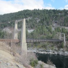
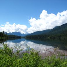
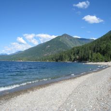
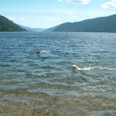
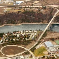
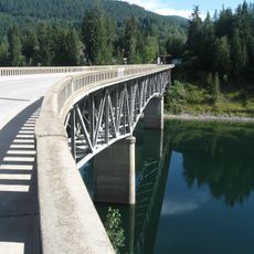
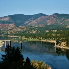
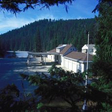
Corra Linn Dam is a gravity dam on the Kootenay River in British Columbia, situated between the towns of Castlegar and Nelson. It is operated by FortisBC and serves both to generate electricity and to regulate water levels in Kootenay Lake.

Corra Linn Dam opened in 1932 as a run-of-the-river plant barred from raising Kootenay Lake. After the 1938 Idaho floods, the International Joint Commission approved two measures: excavating Grohman Narrows in 1939 and allowing the dam to raise the lake by 2 metres for flood control and power.

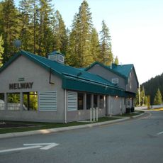
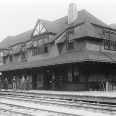
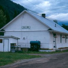
The name comes from the Corra Linn Rapids that preceded the dam, themselves named after Cora Linn, the upper fall of the Falls of Clyde in Scotland. The adjacent former train station and neighbourhood took the rapids' name, and the locality has often been misspelled Corra Lynn.

The dam can be seen from public roads, and the area around it has several spots where you can get a good view of the structure. Visiting during the drier months generally gives clearer views of the water and the surrounding landscape.

During the 1961 flood, Kootenay Lake stood 3 metres above the dam's maximum level because Grohman Narrows held water back; models suggest the lake would have been almost 2 metres higher without the 1939 excavation. Between 2005 and 2010, BC Hydro studied further digging at the narrows as a possible "Resource Smart" project.

The community of curious travelers

AroundUs brings together thousands of curated places, local tips, and hidden gems, enriched daily by 93,890 contributors worldwide.

Start exploring
Location
GPS coordinates
49.46670,-117.46700
Latest update
November 4, 2026 04:00
Reviews
Share your experience

No review yet

Discussions
Start a discussion...

No discussion yet

« Corra Linn Dam - Gravity dam on the Kootenay River in British Columbia, Canada » is provided by Around Us (aroundus.com). Images and texts are derived from Wikimedia project under a Creative Commons license. You are allowed to copy, distribute, and modify copies of this page, under the conditions set by the license, as long as this note is clearly visible.

Discover hidden gems everywhere you go!

From secret cafés to breathtaking viewpoints, skip the crowded tourist spots and find places that match your style. Our app makes it easy with voice search, smart filtering, route optimization, and insider tips from travelers worldwide. Download now for the complete mobile experience.
Around Us App Screenshot
❝

A unique approach to discovering new places❞

— Le Figaro

❝

All the places worth exploring❞

— France Info

❝

A tailor-made excursion in just a few clicks❞

— 20 Minutes

Around Us
Travel Guide & Maps
Download

Send to your phone

QR Code
1

Open the camera app on your mobile.

2

Point at the QR code with your camera. A notification will appear.

3

Tap the notification to open the link.