Kokanee Creek Provincial Park, Provincial park on the west shore of Kootenay Lake, British Columbia, Canada
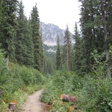
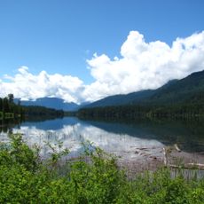
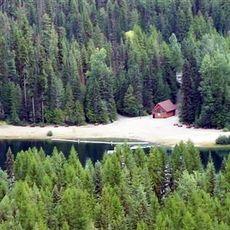
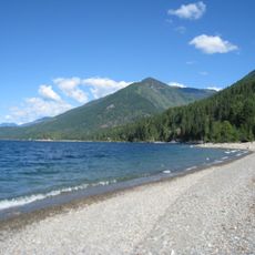
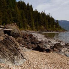
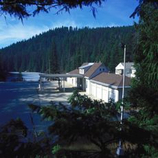
Kokanee Creek Provincial Park covers 260 hectares of sandy beaches, creek delta and coniferous forest on the west shore of Kootenay Lake, 19 kilometres east of Nelson. Highway 3A runs through the park, which sits in an east-west valley at about 530 metres above sea level. A visitor centre and campgrounds lie among the trees.
The site was known as Kitto Landing, believed named after Henry Richard Kitto, who farmed the land from 1910; a government wharf existed by 1912. The Consolidated Mining and Smelting Co. hauled ore from its Molly Gibson mine to this landing. The place fell into obscurity during the 1920s, and the provincial park was established in 1955.
The name Kokanee comes from the kokanee, a landlocked sockeye salmon that spawns in Kokanee Creek. The creek's spawning channel lets visitors watch the red fish from close range in autumn. The park's visitor centre, run by the West Kootenay EcoSociety, explains the salmon's life cycle.
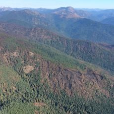
Highway 3A cuts through the park 19 km east of Nelson, so the two halves are reached from separate turnoffs. The west shore of Kootenay Lake lies below the highway, with the sandy delta of Kokanee Creek at the lake mouth. The park sits about 530 m above sea level in an east-west valley; surrounding slopes are forested and thinly populated.
Kitto's Landing once stood at this spot, named for Henry Richard Kitto, who farmed the land from 1910; a government wharf existed by 1912. The Consolidated Mining and Smelting Co. hauled ore from its Molly Gibson mine to the landing, and by the 1920s the place had fallen into obscurity.
The community of curious travelers
AroundUs brings together thousands of curated places, local tips, and hidden gems, enriched daily by 94,368 contributors worldwide.