Regional District of Central Kootenay
Regional District of Central Kootenay, Regional district in southeastern British Columbia, Canada.
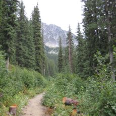
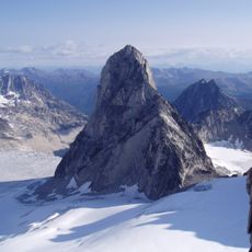
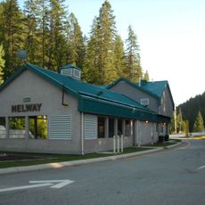
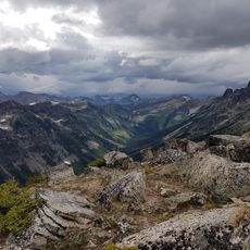
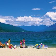
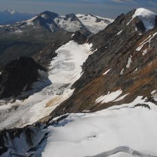
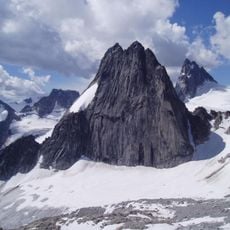
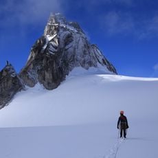
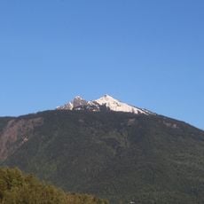
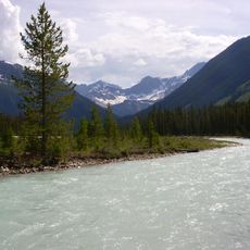
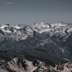
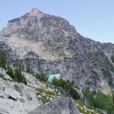
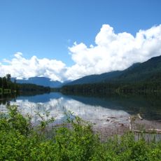
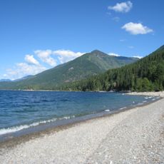
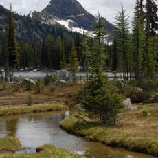
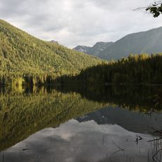
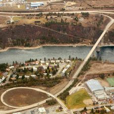
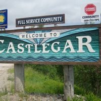
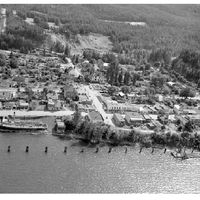
The Regional District of Central Kootenay covers a large area of mountains, valleys, and lakes across southeastern British Columbia. Nine municipalities make up the district, including Nelson and Castlegar, which serve as population centers within the region.
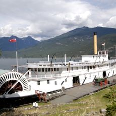
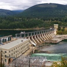
The district was formed in 1965 to unite the governance of multiple communities across a large area. Its creation followed a long period of mining and forestry activity that had shaped the region's development.
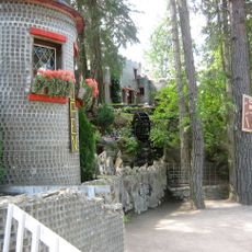
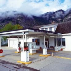
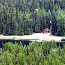
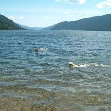
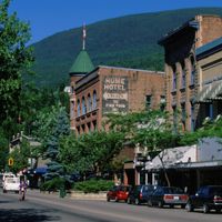
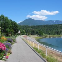
Each municipality within the district maintains community centers and parks where residents participate in seasonal festivals, markets, and outdoor recreational activities.
The district operates through eleven electoral areas labeled alphabetically from A to K, each managing specific geographic zones. Visitors should know that the district provides services like waste management and emergency response across its municipalities.
The district incorporates eleven electoral areas, designated alphabetically from A through K, each representing specific geographic zones with distinct administrative needs.
Location: British Columbia
Shares border with: Stevens County, Regional District of Kootenay Boundary, Regional District of North Okanagan, Columbia-Shuswap Regional District, Regional District of East Kootenay, Pend Oreille County, Boundary County, Lincoln County
Website: https://rdck.ca
GPS coordinates: 49.91667,-117.50000
Latest update: December 10, 2025 16:02
Kokanee Glacier Provincial Park
28.1 kmJumbo Glacier
86.2 km
Glass House
78.9 km
Moyie
42.9 km
Bugaboo Spire
105.2 km
Howser Spire
102.8 km
Metaline Falls-Nelway Border Crossing
103.1 km
Corra Linn Dam
50.1 km
Valhalla Provincial Park
6.5 km
Cody Caves
44.6 km
Kokanee Creek Provincial Park
44 km
Mount Farnham
96.2 km
Snowpatch Spire
104.5 km
Pigeon Spire
103.6 km
Laurier-Cascade Border Crossing
114.7 km
Mount Mackenzie
123.8 km
Vermilion River
164.4 km
Brilliant Suspension Bridge
67.4 km
Purcell Wilderness Conservancy Park Corridor Protected Area
73.9 km
Conrad Kain hut
105.4 km
Slocan River
35.7 km
Champion Lakes Provincial Park
82 km
Lockhart Beach Provincial Park
68.5 km
Gladstone Provincial Park
87.4 km
Blanket Creek Provincial Park
110.1 km
Kianuko Provincial Park
92.1 km
Monashee Provincial Park
85.5 km
Kinnaird Bridge
69.7 kmVisited this place? Tap the stars to rate it and share your experience / photos with the community! Try now! You can cancel it anytime.
Discover hidden gems everywhere you go!
From secret cafés to breathtaking viewpoints, skip the crowded tourist spots and find places that match your style. Our app makes it easy with voice search, smart filtering, route optimization, and insider tips from travelers worldwide. Download now for the complete mobile experience.
A unique approach to discovering new places❞
— Le Figaro
All the places worth exploring❞
— France Info
A tailor-made excursion in just a few clicks❞
— 20 Minutes