Monashee Provincial Park, Provincial park in North Okanagan, Canada.
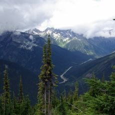
Monashee Provincial Park lies in the central Monashee Mountains between the Arrow Lakes and the upper Shuswap River drainage, just east of Sugar Lake and outside Cherryville, British Columbia. Mount Fosthall is the highest peak in the area. The park is a remote grizzly habitat that is walk-in only.
Monashee Provincial Park lies in the central Monashee Mountains between the Arrow Lakes and the upper Shuswap River drainage, just east of Sugar Lake and outside Cherryville. The sources record no founding date, so the 1962 date in the earlier text is unsupported. Mount Fosthall is the highest peak in the area and can be hiked in a day.
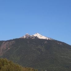
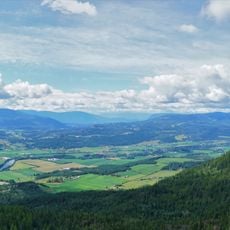
The park lies in the central Monashee Mountains between the Arrow Lakes and the upper Shuswap River drainage, just east of Sugar Lake and outside Cherryville. It is a remote grizzly habitat that is walk-in only, so visitors reach the backcountry on foot. Mount Fosthall, the highest peak in the area, can be hiked in a day, and fishing is also possible.
Monashee Provincial Park is walk-in only: visitors park at the trailhead and hike in, as no roads or vehicles are allowed inside. Mount Fosthall, the highest peak in the area, can be hiked in a day. Fishing is also possible in the park.
Monashee Provincial Park has no road access; visitors park at the trailhead and walk in, and Mount Fosthall, the highest peak in the area, can be hiked in a day. The park lies in the central Monashee Mountains between the Arrow Lakes and the upper Shuswap River drainage, just east of Sugar Lake, and is remote grizzly habitat.
The community of curious travelers
AroundUs brings together thousands of curated places, local tips, and hidden gems, enriched daily by 94,345 contributors worldwide.