Kalamalka Lake Provincial Park, Protected natural area in Okanagan Valley, Canada
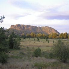
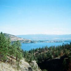
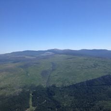
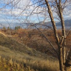
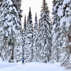
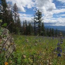
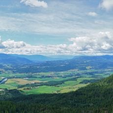
Kalamalka Lake Provincial Park covers about 978 hectares in Coldstream, British Columbia, on the shore of Kalamalka Lake. It preserves a remnant of the natural grasslands that once stretched from Vernon to Osoyoos, with forests and cross-country ski trails, and lies 476 metres above sea level. The terrain is hilly to the southwest and mountainous to the northeast.
The sources do not record a founding date, a military firing range at Cosens Bay, or a conversion from military use; they describe the park as a preserved remnant of the natural grasslands that once stretched from Vernon to Osoyoos. It lies in Coldstream, within the Okanagan region, covers about 978 hectares, and takes its name from Kalamalka Lake, on whose shore it sits.
The park lies within the traditional territory of the Okanagan and Secwepemc peoples, and its name comes from Kalamalka Lake, on whose shore it sits. Two archaeological sites are recorded inside the park, and visitors can look for kekuli, the semi-subterranean winter pit houses of the Interior Plateau peoples, among the grasslands.
The park lies on the shore of Kalamalka Lake, about 7.6 km south of Vernon, and its terrain is hilly to the southwest and mountainous to the northeast. Cross-country ski trails run through the park and are used year-round. The nearest larger settlement is Vernon, so supplies are best picked up there before entering.
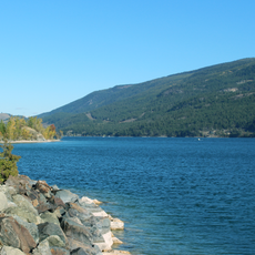
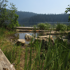
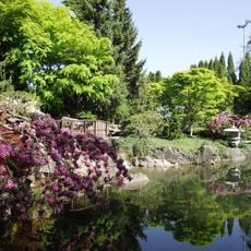
During summer months, calcium carbonate crystals in the lake create distinctive blue and green water colors visible from various viewing points. These color shifts happen due to the mineral content and change throughout the day based on light conditions.
The community of curious travelers
AroundUs brings together thousands of curated places, local tips, and hidden gems, enriched daily by 93,975 contributors worldwide.