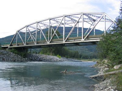
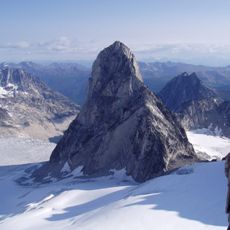
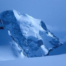
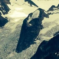
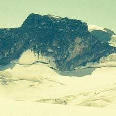
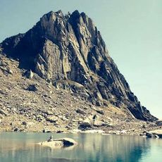
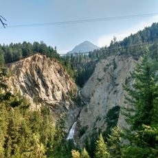
Illecillewaet River, River tributary in Glacier National Park, British Columbia, Canada
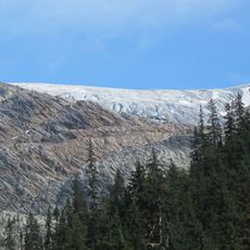
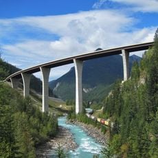
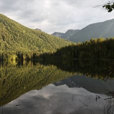
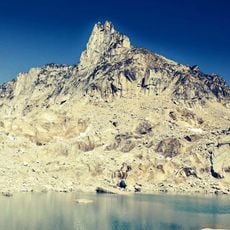
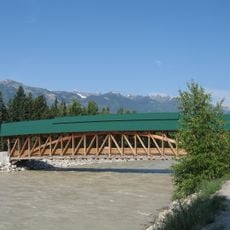
The Illecillewaet River is a tributary that flows from a glacier in the mountains down to where it meets the Columbia River near Revelstoke. The water has a distinctive green color caused by fine sediment from glacial melt that runs through the river year-round.
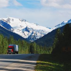
In 1881, surveyor Albert Bowman Rogers found a route along the river that led to Rogers Pass, opening a path for Canada's first transcontinental railway to cross the mountains. This passage became essential for connecting the eastern and western parts of the country by rail.
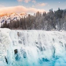
The name comes from Indigenous language and means swift current, reflecting how fast the glacier-fed water moves through the region.
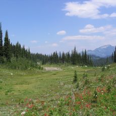
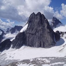
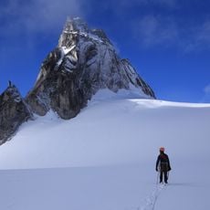
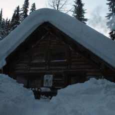
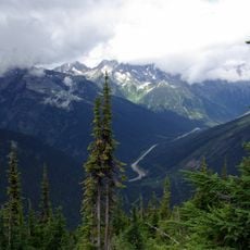
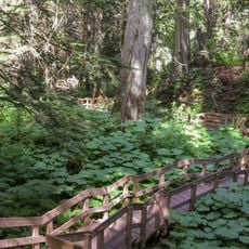
The river valley can be explored through hiking trails and viewpoints, especially during warmer months when snow levels are lower. Visitors should know the water stays very cold year-round and the surrounding area experiences rapidly changing weather conditions.
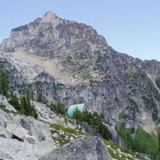
The valley cuts through two national parks and links different mountain landscapes as it flows toward a larger river system. This corridor made the area a preferred route not only for early railway planners but also for travelers today seeking to cross the mountain terrain.
The community of curious travelers
AroundUs brings together thousands of curated places, local tips, and hidden gems, enriched daily by 60,000 contributors worldwide.