Enable Location

We need your location to show you interesting places around you

Discover nearby places

Find interesting locations and hidden gems around you

Precise directions

Get accurate directions and distances to places

Your location is never shared with other users. It's only used when you tap the location button.

Vermilion River

Log in to your account

Start exploring — it's free

Trusted by 61,556 travelers worldwide

Continue with Google
Continue with Apple
or

We will send you a code to connect

By continuing, you accept our Terms and Conditions and our Privacy Policy

Check your inbox

We've sent a pincode in your inbox. Please enter the code below.

Vermilion River

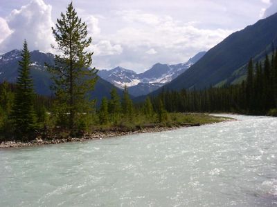
Vermilion River, Mountain brook in Kootenay National Park, Canada

Description

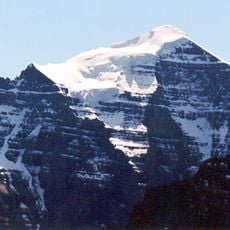
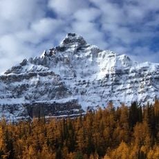
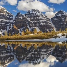
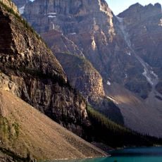
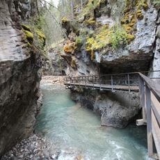
The Vermilion River flows through a mountain valley, carving out a natural passage between towering ridges in Kootenay National Park, British Columbia. It gathers water from several tributaries before joining the Kootenay River downstream.

History

Sir George Simpson made the first documented European expedition to the Vermilion River in 1841, opening this region to wider exploration. Indigenous peoples, particularly the Ktunaxa, had inhabited and used these waterways for generations before European arrival.

Culture

The river holds deep meaning for the Ktunaxa Nation, whose four bands have maintained ties to these waters across generations. Walking along the banks, you sense the ongoing connection between people and the landscape.

Practical

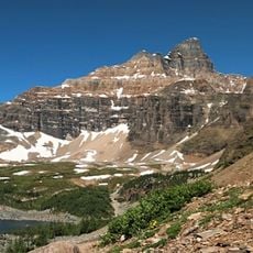
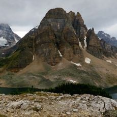
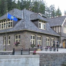
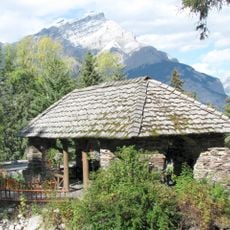
Multiple hiking trails offer views of the river, with Numa Falls easily reached directly from Highway 93. The best way to experience the flow is on foot, with paths ranging from gentle walks to more challenging routes.

Did you know?

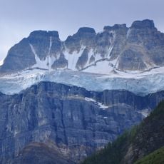
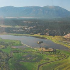
The river originates at Vermilion Pass and collects water from several tributaries including Simpson River, Tokumm Creek, and Verendrye Creek as it flows downstream. These different waterways converge to form the landscape you see while walking along its banks.

GPS coordinates
51.06383,-116.03760
Latest update
December 13, 2025 17:08

AroundUs brings together thousands of curated places, local tips, and hidden gems, enriched daily by 60,000 contributors worldwide. Discover all places nearby (Regional District of East Kootenay).

« Vermilion River - Mountain brook in Kootenay National Park, Canada » is provided by Around Us (aroundus.com). Images and texts are derived from Wikimedia project under a Creative Commons license. You are allowed to copy, distribute, and modify copies of this page, under the conditions set by the license, as long as this note is clearly visible.

Discover hidden gems everywhere you go!

From secret cafés to breathtaking viewpoints, skip the crowded tourist spots and find places that match your style. Our app makes it easy with voice search, smart filtering, route optimization, and insider tips from travelers worldwide. Download now for the complete mobile experience.

Around Us App Screenshot

A unique approach to discovering new places

Le Figaro

All the places worth exploring

France Info

A tailor-made excursion in just a few clicks

20 Minutes

Around Us
Travel Guide & Maps
Download

Send to your phone

QR Code
1

Open the camera app on your mobile.

2

Point at the QR code with your camera. A notification will appear.

3

Tap the notification to open the link.