Nakusp, village in British Columbia, Canada
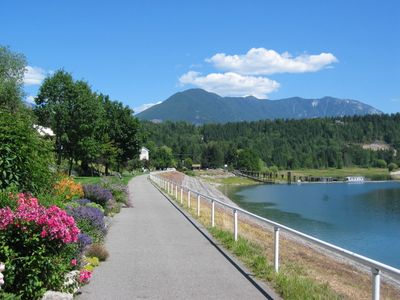
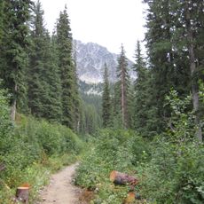
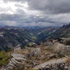
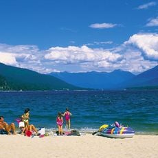
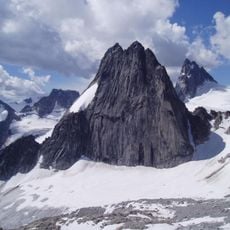
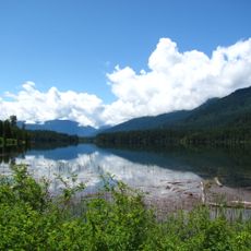
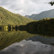
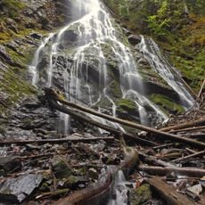
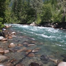
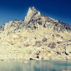
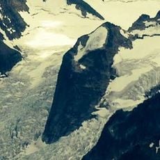
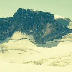
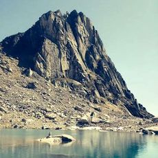
Nakusp is a small village on the shores of Upper Arrow Lake in the West Kootenay region of British Columbia, surrounded by tall mountains on both sides. The settlement features a calm lakefront with trails for hiking and biking, water activities like boating and fishing, and natural hot springs located about 14 kilometers away.
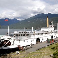
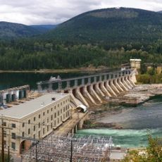
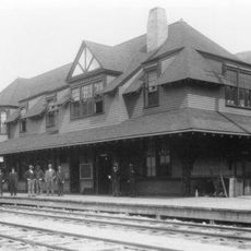
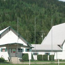
Nakusp was founded in the late 1800s as a post office and small sawmill settlement and grew into a busy hub when railway connections arrived to transport ore from nearby mines and forest products. The village developed schools, churches, a hospital, and a movie theater by the 1930s and was officially incorporated as a town in 1964.
The name Nakusp comes from Nakusp Creek to the south and is believed to mean a safe or sheltered place, reflecting the village's character and appeal. The lake and waterfront are gathering spaces where residents and visitors naturally spend time together, witnessing the slow pace and outdoor focus of daily community life.
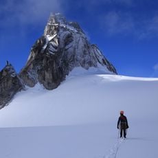
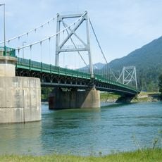
The village is easily accessible by road via Highways 6 and 23, and has a small airstrip for private aircraft. Summer is ideal for hiking and water activities, though the area remains accessible in winter when snow covers the mountains and offers winter sports opportunities.
The Nakusp Hot Springs produce water heated to about 57 degrees Celsius (135 degrees Fahrenheit), once accessible only by rough road but now available at a comfortable resort with pools surrounded by rocks and cedar trees. These thermal waters have drawn visitors for generations and remain a defining feature of the village experience.
The community of curious travelers
AroundUs brings together thousands of curated places, local tips, and hidden gems, enriched daily by 60,000 contributors worldwide.