Nelson, Heritage city in British Columbia, Canada
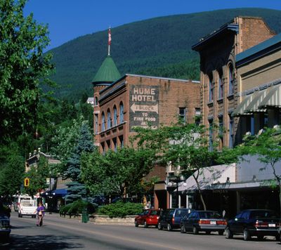
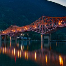
Nelson is a city in the Regional District of Central Kootenay, British Columbia, situated at 535 meters (1,755 feet) elevation in the Selkirk Mountains with views over the West Arm of Kootenay Lake. The downtown streets follow sloping terrain, lined with preserved buildings from the Victorian period, particularly along Baker Street.
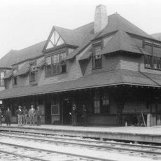
Silver deposits found at Toad Mountain in 1886 brought miners and settlers to the area, leading to the incorporation of the city in 1897. The settlement grew over the following decades into a regional trade center serving nearby mining operations.
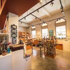
Many shopfronts along Baker Street occupy buildings from the Victorian era, now home to local galleries and studios run by resident artists. The restored wooden and brick facades reflect construction methods from the late 1800s, when miners and merchants first settled the area.
The city sits on mountainous terrain, so walking often involves uphill slopes, especially when exploring the downtown on foot. Local transit connects the area to surrounding communities and runs regular routes within the city center.
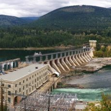
The city operates its own electrical utility, Nelson Hydro, which has generated power from local hydroelectric sources since the early 1900s. This municipal service continues to supply households in the area today.
The community of curious travelers
AroundUs brings together thousands of curated places, local tips, and hidden gems, enriched daily by 60,000 contributors worldwide.