Creston, Mountain town in Central Kootenay, Canada
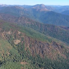
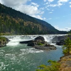
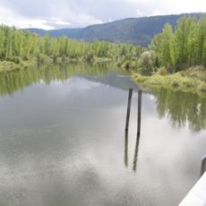
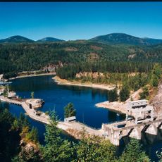
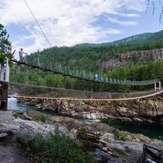
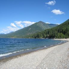
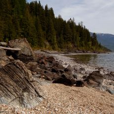
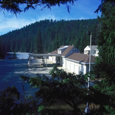
Creston is a mountain town nestled in fertile valleys in British Columbia's Central Kootenay region, sitting at about 597 meters elevation and surrounded by peaks. The community centers on agriculture, using the natural conditions to grow fruit and crops across the landscape.
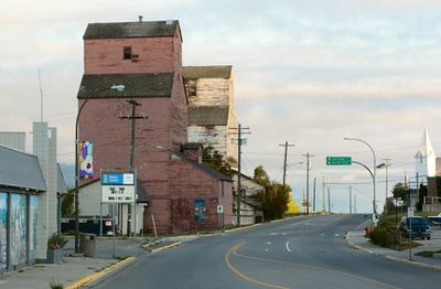
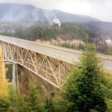
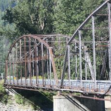
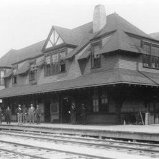
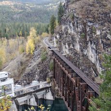
The Canadian Pacific Railway arrived in the early 1900s and transformed Creston from a small settlement into an agricultural hub for the Kootenay region. The railway connection opened markets and enabled steady growth of the community over the following decades.
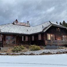
The Creston Valley Blossom Festival brings local farmers, artisans, and residents together each spring to celebrate the agricultural roots of the region. The orchards and fields shape the character of the community, showing how farming and harvest remain central to everyday life.
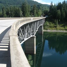
The town is best explored on foot or by car since the community spreads across several roads and pathways. The Creston and District Community Complex offers visitors and residents sports facilities including pools, an ice arena, and outdoor recreational spaces for all ages.
Creston observes Mountain Standard Time while surrounding communities in British Columbia follow Pacific Standard Time. This creates a one-hour time difference that surprises many visitors crossing from nearby areas.
The community of curious travelers
AroundUs brings together thousands of curated places, local tips, and hidden gems, enriched daily by 60,000 contributors worldwide.