Regional District of Kootenay Boundary, Regional district in southeastern British Columbia, Canada.
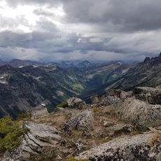
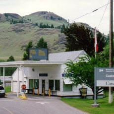
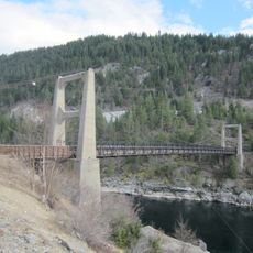
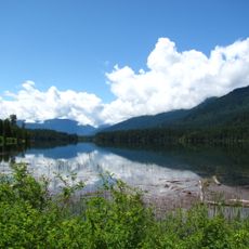
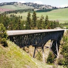
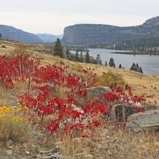
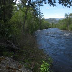
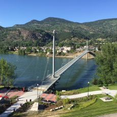
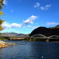
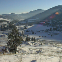
The Regional District of Kootenay Boundary is an administrative division in southeastern British Columbia that includes eight municipalities and five electoral areas. Its territory lies between the Monashee Mountains and the Kootenay River, encompassing towns like Trail, Grand Forks, and Rossland.
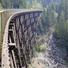
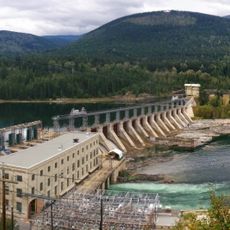
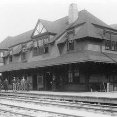
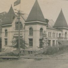
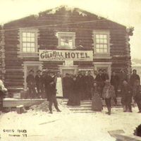
The district was established in 1966 as part of British Columbia's system for organizing regional governance. Its development was shaped by mining, forestry, and settlement patterns across the southeastern portion of the province.
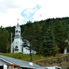
The district acknowledges its location on traditional First Nations territories while incorporating European heritage through its municipalities, including Trail, Grand Forks, and Rossland.
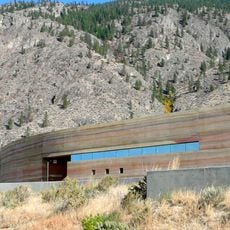
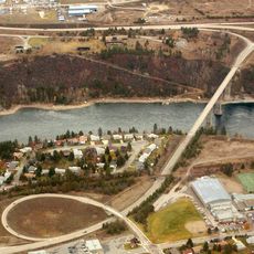
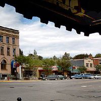
Administrative offices in Trail and Grand Forks manage essential services for the communities, including water systems and waste collection. Visitors should know this is a large area covering multiple separate towns, each with its own facilities and services.
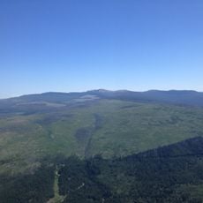
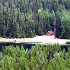
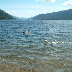
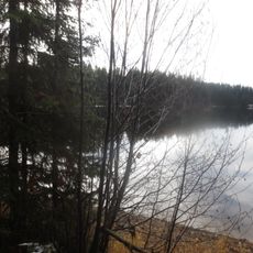
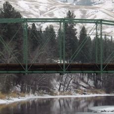
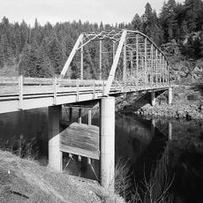
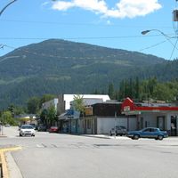
The district is divided into five distinct electoral areas, each representing different geographic characteristics and connecting various landscapes from lake regions to ski terrain. This arrangement allows specialized administration for the different needs and geography within the region.
The community of curious travelers
AroundUs brings together thousands of curated places, local tips, and hidden gems, enriched daily by 60,000 contributors worldwide.