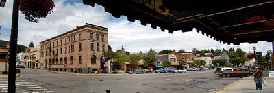
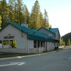
Rossland, city in British Columbia, Canada
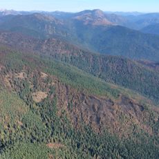
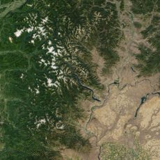
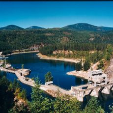
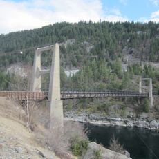
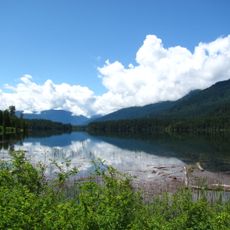
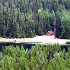
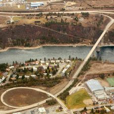
Rossland is a city in the Kootenay Boundary region of British Columbia, situated in a mountain valley at an elevation of roughly 3,600 feet (1,100 meters). The community grew from gold and copper mining operations and today serves as a hub for winter sports and mountain recreation.
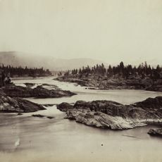
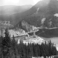
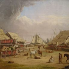
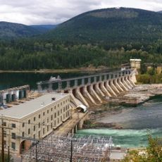
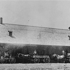
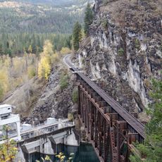
The town originated in the late 1800s as a gold rush camp and later became a copper mining center during its peak. Mining shaped the community for decades until the industry gradually declined in the following century.
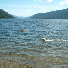
The best time to visit is between November and March for snow activities, though the area remains accessible in summer for hiking and cycling. Visitors should prepare for cool mountain weather and bring appropriate clothing, as elevation and location significantly affect conditions throughout the year.
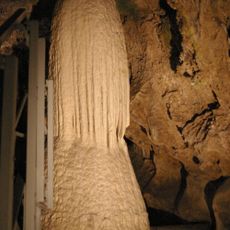
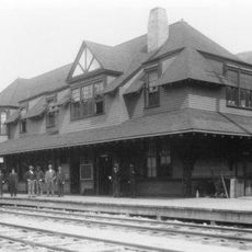
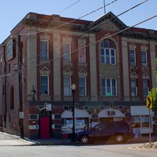
It was once one of Canada's richest gold towns and drew prospectors from around the world to its mountains. Today visitors can still see historic buildings and old mining infrastructure that tell the story of this prosperous era.
The community of curious travelers
AroundUs brings together thousands of curated places, local tips, and hidden gems, enriched daily by 60,000 contributors worldwide.