Kettle River Range, Mountain range and National Recreation Trail in British Columbia and Washington State
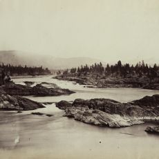
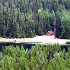
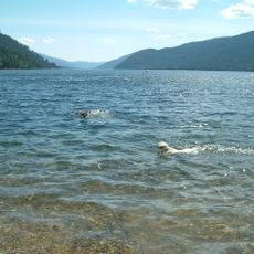
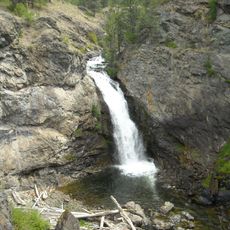
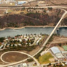
The Kettle River Range is a mountain range stretching north to south along the Canada-United States border, reaching elevations around 2,200 meters with a mix of open grasslands and dense forests. The terrain supports varied ecosystems across its slopes and valleys.
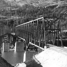
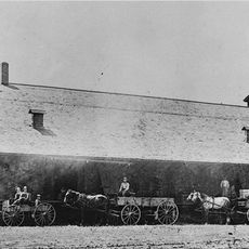
The range experienced intensive mining activity from the late 1800s through the mid-1900s, with over 200 mines extracting gold from the region. This era shaped the economic development and human settlement patterns across the mountains.
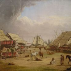
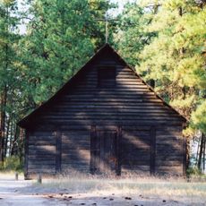
Indigenous communities established settlements throughout the Kettle River Range, utilizing the natural resources for hunting, gathering, and maintaining traditional practices.
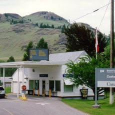
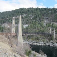
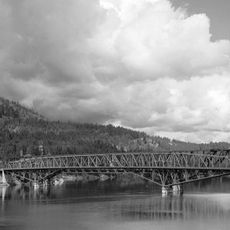
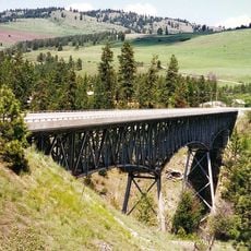
The Sherman Pass Scenic Byway provides a driving route across the range, while the Kettle Crest National Recreation Trail offers extensive hiking opportunities. Both routes are readily accessible for different ways of exploring the region.
The region hosts the largest gray wolf population in Washington State, sharing this habitat with lynx, bighorn sheep, and various bear species. These predators inhabit one of the few remaining wild spaces in the inland Northwest.
Location: British Columbia
Elevation above the sea: 2,176 m
GPS coordinates: 49.00000,-118.42000
Latest update: December 10, 2025 16:30
Kettle Falls
46.2 km
Nk'Mip Desert Cultural Centre
74.2 km
Fort Colvile
64.7 km
Ferry-Midway Border Crossing
24.9 km
St. Paul's Mission
47.5 km
Laurier-Cascade Border Crossing
14.3 km
Brilliant Suspension Bridge
67.5 kmZosel Dam
73.4 km
Champion Lakes Provincial Park
61.6 km
Kettle Falls Bridges
47.2 km
Gladstone Provincial Park
35.6 km
Boundary Falls
21.4 km
Rock Creek Canyon Bridge
51.2 km
Kinnaird Bridge
65.5 km
Ferry County Carousel
43.7 km
Kettle Falls Railroad Bridge
47.2 km
Old Apple Warehouse
50.9 km
Creaser Hotel
45.5 km
Curlew Bridge
18.4 km
Northport Bridge
47.9 km
Colville Opera House and Odd Fellows Hall
63.2 km
Orient Bridge
22 km
Lost Lake Guard Station
49.1 km
Fairweather–Trevitt House
45.8 km
Columbia River Skywalk
53.4 km
St. Andrew's United Church (Rossland, British Columbia)
46.2 km
Sacred Heart Church (Greenwood, British Columbia)
21.5 km
Rossland Court House
46.4 kmVisited this place? Tap the stars to rate it and share your experience / photos with the community! Try now! You can cancel it anytime.
Discover hidden gems everywhere you go!
From secret cafés to breathtaking viewpoints, skip the crowded tourist spots and find places that match your style. Our app makes it easy with voice search, smart filtering, route optimization, and insider tips from travelers worldwide. Download now for the complete mobile experience.
A unique approach to discovering new places❞
— Le Figaro
All the places worth exploring❞
— France Info
A tailor-made excursion in just a few clicks❞
— 20 Minutes