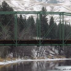
Kettle Falls Bridges, Railroad and road bridges in Kettle Falls, Washington, United States.
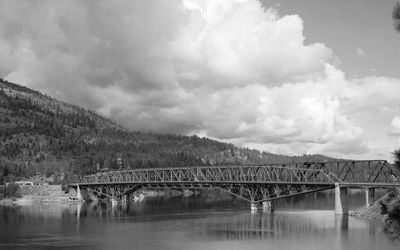
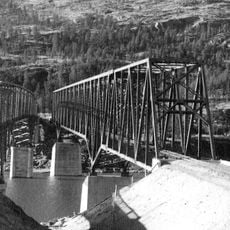
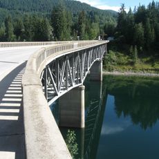
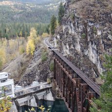
Kettle Falls Bridges are two steel cantilever structures spanning the Columbia River with a combined length of about 1,267 feet and a main span of approximately 600 feet. The northern bridge carries the Kettle Falls International Railway, while the southern one handles traffic on State Route 20 and U.S. Route 395.
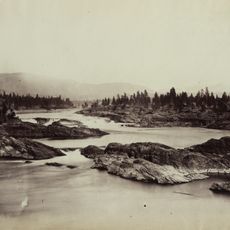
Built in 1941, the bridges replaced earlier structures that were submerged by rising water levels from Grand Coulee Dam construction. This project became essential for reconnecting the region after the old infrastructure disappeared under water.
The design choice of horizontal top chords and sloping bottom chords reflects how engineers thought about building in the 1940s. Visitors can observe how this structural form shaped the character of the crossing and influenced similar projects in the region afterward.
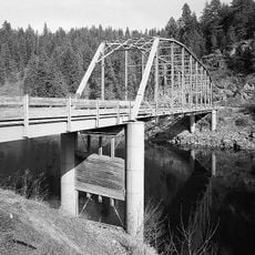
The best way to view the bridges is from the adjacent road and railway access points where the structure is clearly visible from multiple angles. Plan your visit around train schedules and traffic flow to safely observe the construction from different viewpoints.
The concrete piers of the main span rest directly on solid rock without requiring pilings, representing an innovative construction technique for the 1940s. This direct foundation on bedrock allowed engineers to create a more stable and long-lasting structure than traditional methods would have permitted.
The community of curious travelers
AroundUs brings together thousands of curated places, local tips, and hidden gems, enriched daily by 60,000 contributors worldwide.