Greenwood, city in British Columbia, Canada
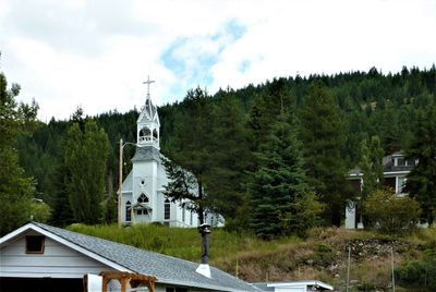
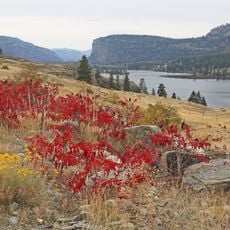
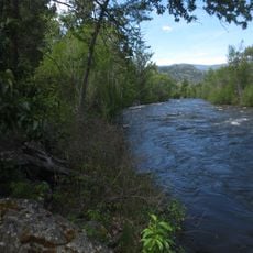
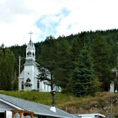
Greenwood is a small city in southern British Columbia set among mountains and forests. The town has wide streets lined with old buildings from its mining days, including heritage shops, homes, and ruins of former smelters that once processed copper ore.
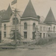
The town began in the 1890s when workers discovered and mined copper ore in the area. In 1897 Greenwood was officially established as a city and grew quickly to become an important center for mining and trade in the region.
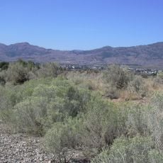
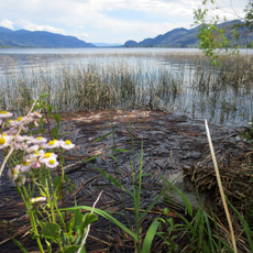
The name Greenwood refers to the forested surroundings that still shape the landscape today. Japanese Canadians who lived here during World War II left their mark through the Nikkei Memorial Garden, where visitors can see a traditional Japanese rock garden that honors about 1200 people who were held in the town.
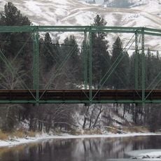
The city is reachable by car along the regional highway, located about 42 kilometers west of Grand Forks. There are a few small motels, cafes, and shops in the town center, all within walking distance, and exploring works best at a leisurely pace.
Greenwood holds the informal title of Canada's smallest city and today is a quiet place with just over 600 residents. The town's story during World War II is unusual: the mayor at the time voluntarily accepted about 1200 Japanese Canadians as internees, which was brave and rare for that era.
The community of curious travelers
AroundUs brings together thousands of curated places, local tips, and hidden gems, enriched daily by 60,000 contributors worldwide.