Enable Location

We need your location to show you interesting places around you

Discover nearby places

Find interesting locations and hidden gems around you

Precise directions

Get accurate directions and distances to places

Your location is never shared with other users. It's only used when you tap the location button.

L'Isle-aux-Coudres

Log in to your account

Start exploring — it's free

Trusted by 62,627 travelers worldwide

Continue with Google
Continue with Apple
or

We will send you a code to connect

By continuing, you accept our Terms and Conditions and our Privacy Policy

Check your inbox

We've sent a pincode in your inbox. Please enter the code below.

L'Isle-aux-Coudres

L'Isle-aux-Coudres, Island municipality in Charlevoix region, Canada.

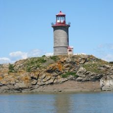
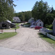
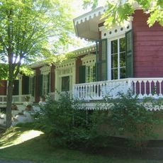
L'Isle-aux-Coudres is an island municipality in the Charlevoix region that stretches along the Saint Lawrence River. The land here changes from coastal shores to agricultural fields as you move inland.

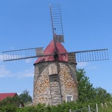
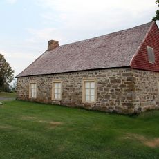
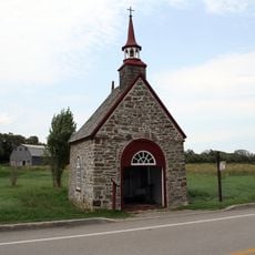
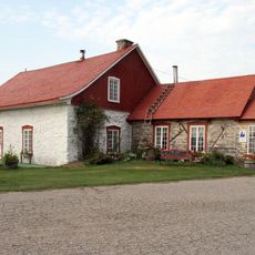
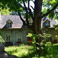
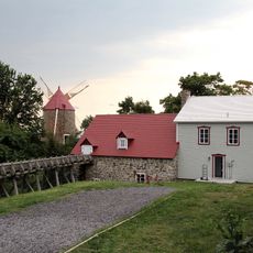
French colonists settled on the island during the 17th century and named it after the hazelnut trees that grew abundantly there. These early settlements became the foundation for today's community.

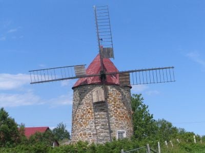
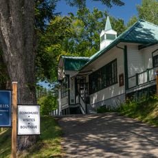
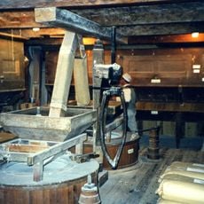
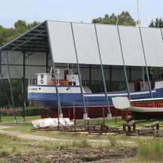
The residents here, called marsouins, keep alive traditional crafts and recipes passed down through generations. You can see these practices in daily life when visiting local workshops and tasting traditional dishes.

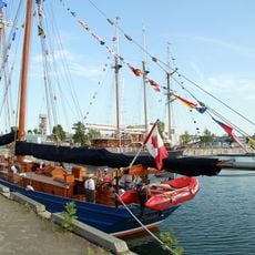
A free ferry connects the island year-round from Saint-Joseph-de-la-Rive and carries both vehicles and pedestrians. The crossing is short and straightforward, making it easy to get to the island and back.

During cold months, the island's position in the Saint Lawrence River creates natural ice bridges that allow rare access over frozen water. This phenomenon is a striking natural occurrence that happens only under specific weather conditions.

The community of curious travelers

AroundUs brings together thousands of curated places, local tips, and hidden gems, enriched daily by 60,000 contributors worldwide.

Start exploring
Location
Inception
August 23, 2000
Shares border with
Les Éboulements
GPS coordinates
47.40000,-70.38330
Latest update
December 6, 2025 16:02
Photo locations in Quebec: Montmorency Falls, Old Quebec, Château Frontenac

Quebec provides varied photographic settings across a province that combines French colonial heritage with extensive natural landscapes. In Quebec City, the stone buildings of Old Quebec, Fairmont Le Château Frontenac, and Montmorency Falls with its 83-meter drop form key subjects. The historic...

« L'Isle-aux-Coudres - Island municipality in Charlevoix region, Canada » is provided by Around Us (aroundus.com). Images and texts are derived from Wikimedia project under a Creative Commons license. You are allowed to copy, distribute, and modify copies of this page, under the conditions set by the license, as long as this note is clearly visible.

Discover hidden gems everywhere you go!

From secret cafés to breathtaking viewpoints, skip the crowded tourist spots and find places that match your style. Our app makes it easy with voice search, smart filtering, route optimization, and insider tips from travelers worldwide. Download now for the complete mobile experience.

Around Us App Screenshot

A unique approach to discovering new places

Le Figaro

All the places worth exploring

France Info

A tailor-made excursion in just a few clicks

20 Minutes

Around Us
Travel Guide & Maps
Download

Send to your phone

QR Code
1

Open the camera app on your mobile.

2

Point at the QR code with your camera. A notification will appear.

3

Tap the notification to open the link.