
Authier-Nord, municipality in Quebec, Canada
Location: Abitibi-Ouest
Inception: January 1, 1983
Shares border with: Rivière-Ojima, Chazel, Eeyou Istchee James Bay Regional Government, Macamic
Website: http://authier-nord.ao.ca/fr
GPS coordinates: 48.83330,-78.86670
Latest update: March 6, 2025 13:07

Aréna Glencore
66.3 km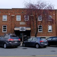
Le Petit Théâtre du Vieux Noranda
66.2 km
Aiguebelle National Park
36.7 km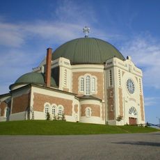
Cathedral of St Teresa of Avila
62.2 km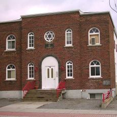
Rouyn-Noranda Synagogue
66.4 km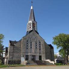
Saint Joseph Cathedral
67 km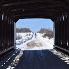
Pont Maurice-Duplessis
34.5 km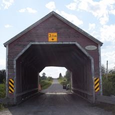
Pont des Pionniers
43.2 km
Vieux-Arbres Ecological Reserve
50 km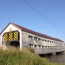
Pont des Souvenirs
32.4 km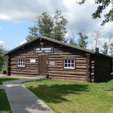
Dumulon's General Store
67 km
Pont Molesworth
13.3 km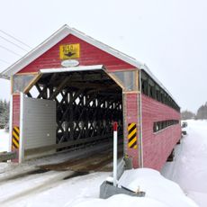
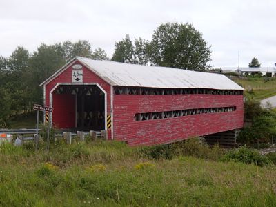
Pont de la Calamité
27.8 km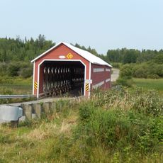
Pont de l’Île
42.8 km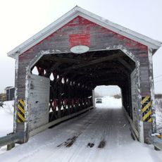
Pont Leclerc
30 km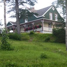
Maison Hector-Authier
62.1 km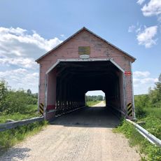
Pont Alphonse-Normandin
52.7 km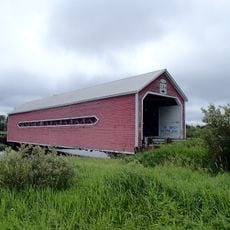
Pont du Petit-Quatre
34.7 km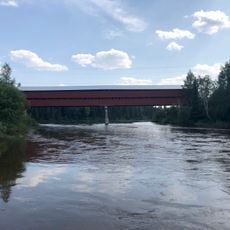
Pont Émery-Sicard
66.7 km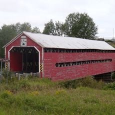
Pont Levasseur
1.7 km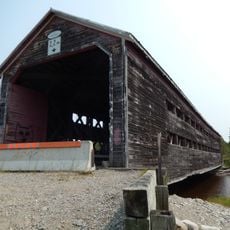
Taschereau bridge
40.7 km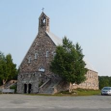
Site patrimonial de Rapide-Danseur
44.6 km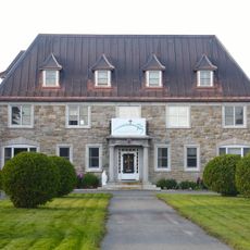
Évêché d'Amos
61.9 km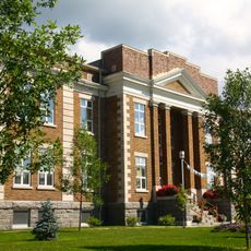
Ancien palais de justice d'Amos
62.4 km
Cours d'eau Bouchard
29.9 km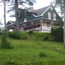
Site patrimonial de la Maison-Hector-Authier
62.1 km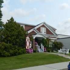
Maison Lavigne
25 km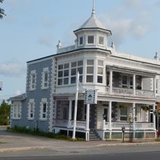
Manoir Bordeleau
25 kmVisited this place? Tap the stars to rate it and share your experience / photos with the community! Try now! You can cancel it anytime.
Discover hidden gems everywhere you go!
From secret cafés to breathtaking viewpoints, skip the crowded tourist spots and find places that match your style. Our app makes it easy with voice search, smart filtering, route optimization, and insider tips from travelers worldwide. Download now for the complete mobile experience.

A unique approach to discovering new places❞
— Le Figaro
All the places worth exploring❞
— France Info
A tailor-made excursion in just a few clicks❞
— 20 Minutes