
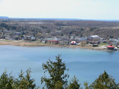
Gore Bay, town in Ontario, Canada
Location: Manitoulin District
Elevation above the sea: 193.5 m
Website: http://www.gorebay.ca/
Shares border with: Gordon/Barrie Island
Website: http://gorebay.ca
GPS coordinates: 45.91528,-82.46472
Latest update: April 29, 2025 07:59
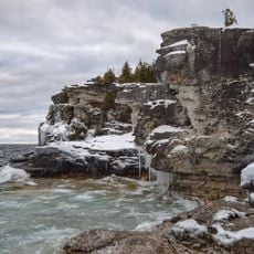
Bruce Peninsula National Park
100.3 km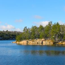
Killarney Provincial Park
89.5 km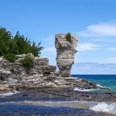
Fathom Five National Marine Park
92.9 km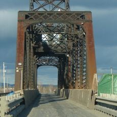
Little Current Swing Bridge
43.2 km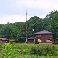
La Cloche Provincial Park
40 km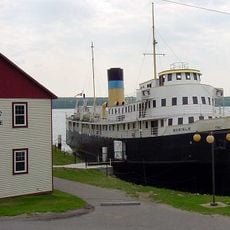
SS Norisle
26.4 km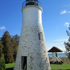
Old Presque Isle Light
101.5 km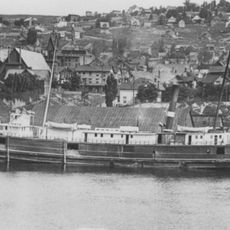
SS Russia (1872)
86.7 km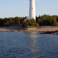
Cove Island Light
86.7 km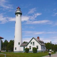
New Presque Isle Light
101.3 km
Rockport State Recreation Area
107.7 km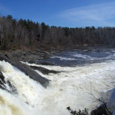
Chutes Provincial Park
45.7 km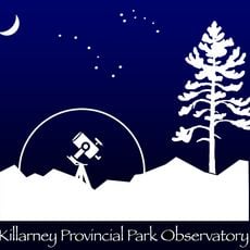
Killarney Provincial Park Observatory
83.1 km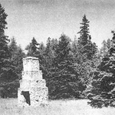
Fort Drummond
108.3 km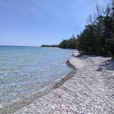
Thompson's Harbor State Park
107 km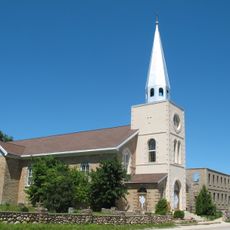
Holy Cross Church, Wikwemikong
59.7 km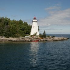
Big Tub Lighthouse
95.7 km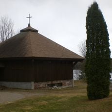
Anishinabe Spiritual Centre
66.5 km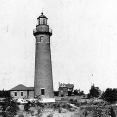
Middle Island Light
104.5 km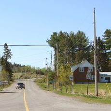
Rydal Bank Church
110.4 km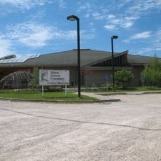
Ojibwe Cultural Foundation
25.5 km
Fire Tower Mountain
51.4 km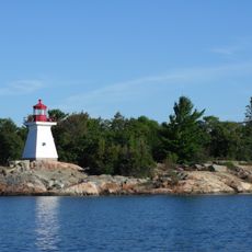
Killarney East Lighthouse
75.8 km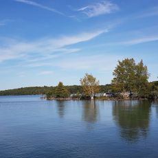
Drummond Island Historical Museum
99.8 km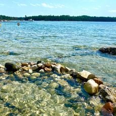
Big Shoal Beach
88.1 km
Mount Dufour
54.8 km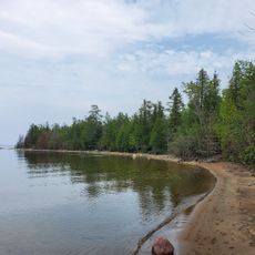
Glen Cove Beach
83.4 km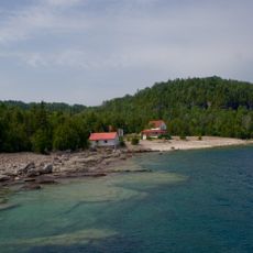
Flowerpot Island Lighthouse
94.7 kmReviews
Visited this place? Tap the stars to rate it and share your experience / photos with the community! Try now! You can cancel it anytime.
Discover hidden gems everywhere you go!
From secret cafés to breathtaking viewpoints, skip the crowded tourist spots and find places that match your style. Our app makes it easy with voice search, smart filtering, route optimization, and insider tips from travelers worldwide. Download now for the complete mobile experience.

A unique approach to discovering new places❞
— Le Figaro
All the places worth exploring❞
— France Info
A tailor-made excursion in just a few clicks❞
— 20 Minutes