
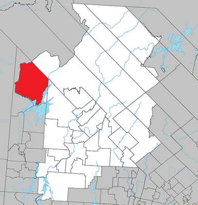
Lac-Marguerite, unorganized area of Quebec, Canada
Location: Antoine-Labelle
Shares border with: Lac-Lenôtre, Cascades-Malignes, Lac-Douaire, Grand-Remous, Ferme-Neuve
GPS coordinates: 47.03330,-75.80000
Latest update: March 3, 2025 05:00
Mont-Tremblant National Park
124.5 km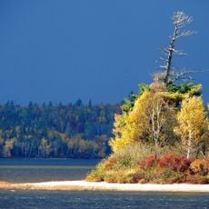
La Vérendrye Wildlife Reserve
55.6 km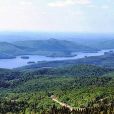
Lake Tremblant
124.9 km
Papineau-Labelle Wildlife Reserve
112.9 km
Lac du Poisson Blanc
113.7 km
Réservoir Kiamika
68.6 km
Poisson-Blanc Regional Park
104.9 km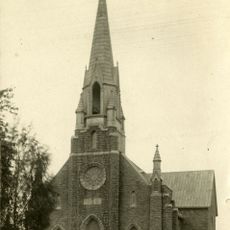
Notre-Dame-de-Fourvière Cathedral
58.2 km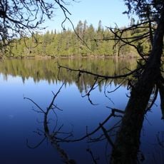
Kiamika Reservoir Regional Park
69.2 km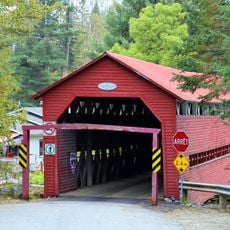
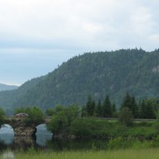
Pont Armand-Lachaîne
59.4 km
CHMK-FM
108.5 km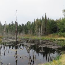
Zec Petawaga
6.8 km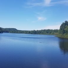
Lac Charland
124.4 km
Pont Macaza
108.4 km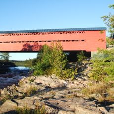
Pont Savoyard
50.2 km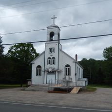
Église Notre-Dame-du-Mont-Carmel
125.1 km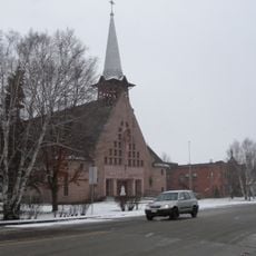
Église Notre-Dame-du-Très-Saint-Sacrement
45.5 km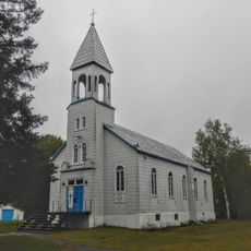
Site patrimonial de la Paroisse-de-Notre-Dame-des-Anges
129.2 km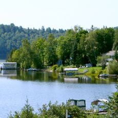
Réservoir l'Escalier
130.8 km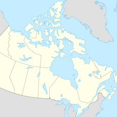
Grotte de la Maison de Pierre
67.3 km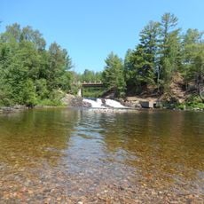
Chute aux Épinettes Rouges
125.5 km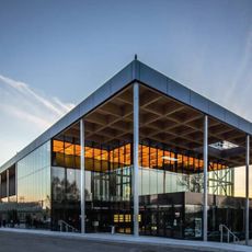
Espace Théâtre
58.1 km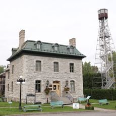
Château Logue
73.6 km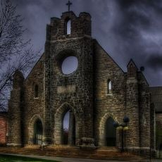
Façades de l'ancienne cathédrale de Notre-Dame-de-Fourvières
58.2 km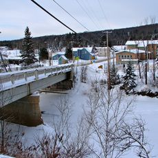
Pont de la Rivière-Rouge
91.6 km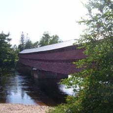
Pont Est de Ferme-Rouge
73.3 km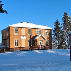
Ancienne école de Notre-Dame-de-Fatima
84.2 km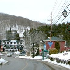
Le Village
129.5 kmVisited this place? Tap the stars to rate it and share your experience / photos with the community! Try now! You can cancel it anytime.
Discover hidden gems everywhere you go!
From secret cafés to breathtaking viewpoints, skip the crowded tourist spots and find places that match your style. Our app makes it easy with voice search, smart filtering, route optimization, and insider tips from travelers worldwide. Download now for the complete mobile experience.

A unique approach to discovering new places❞
— Le Figaro
All the places worth exploring❞
— France Info
A tailor-made excursion in just a few clicks❞
— 20 Minutes