
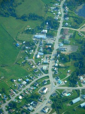
Lac-des-Aigles, former municipality in Quebec, Canada
Location: Lac-des-Aigles
Inception: January 1, 1948
Shares border with: Esprit-Saint, Biencourt, Saint-Michel-du-Squatec, Saint-Guy, Saint-Eugène-de-Ladrière
Website: http://lacdesaigles.ca
GPS coordinates: 47.98333,-68.68333
Latest update: March 18, 2025 18:10
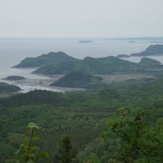
Bic National Park
41.5 km
Cabano
36.6 km
Lac-Témiscouata National Park
27.2 km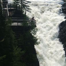
Canyon des Portes de l'Enfer
32.7 km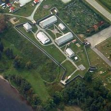
Fort Ingall
36.1 km
Pic Champlain
40 km
Zec Owen
36.6 km
Seigneurie de Madawaska
31.6 km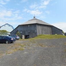
Grange Adolphe-Gagnon
37.5 km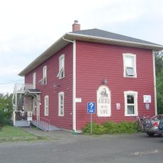
Cabano railway station
36.6 km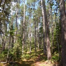
Forêt rare de la Montagne-à-Fourneau
34.1 km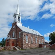
Saint-Mathieu Church
31.6 km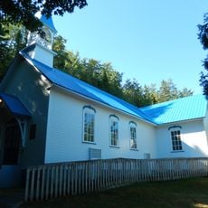
Chapelle de Notre-Dame-des-Murailles
39.5 km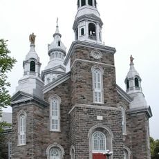
Notre-Dame-des-Neiges Church
39.8 km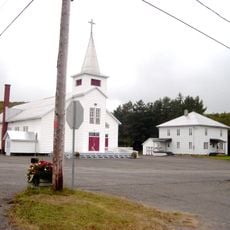
Saint-Pierre Church
34.3 km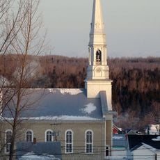
Saint-Hubert Church
39.7 km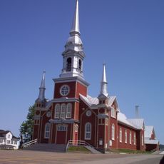
Saint-Fabien Church
37.2 km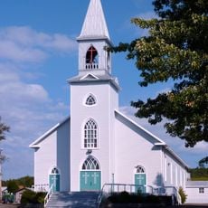
Saint-Isidore Church
803 m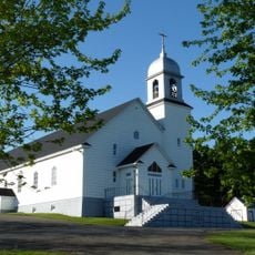
La Trinité-des-Monts Church
22.4 km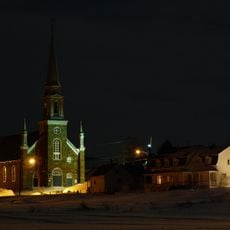
Saint-Simon Church
36.2 km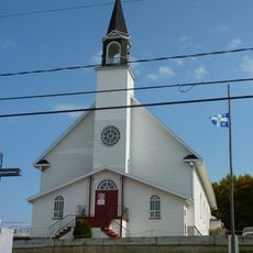
L'Esprit-Saint Church
12.9 km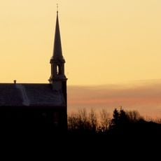
Saint-Paul-de-la-Croix Church
38.3 km
Sainte-Françoise Church
30.9 km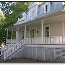
Presbytère de Saint-Cyprien
26.8 km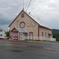
Vieux Théâtre de Saint-Fabien
37.4 km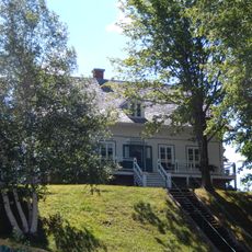
Maison du notaire
39.6 km
Presbytère de Saint-Hubert
39.5 km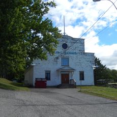
Salle des loisirs de Sainte-Françoise
30.8 kmVisited this place? Tap the stars to rate it and share your experience / photos with the community! Try now! You can cancel it anytime.
Discover hidden gems everywhere you go!
From secret cafés to breathtaking viewpoints, skip the crowded tourist spots and find places that match your style. Our app makes it easy with voice search, smart filtering, route optimization, and insider tips from travelers worldwide. Download now for the complete mobile experience.

A unique approach to discovering new places❞
— Le Figaro
All the places worth exploring❞
— France Info
A tailor-made excursion in just a few clicks❞
— 20 Minutes