
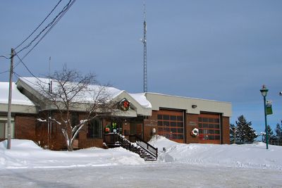
Nominingue, municipality in Quebec, Canada
Location: Antoine-Labelle
Inception: 1883
Shares border with: Lac-Saguay, La Minerve, Kiamika, Lac-Ernest, Rivière-Rouge
Website: http://municipalitenominingue.qc.ca
GPS coordinates: 46.40000,-75.03330
Latest update: March 21, 2025 06:14
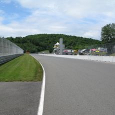
Circuit Mont-Tremblant
40.2 km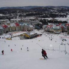
Mont Tremblant Resort
40.2 km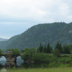
Mont-Tremblant National Park
45.6 km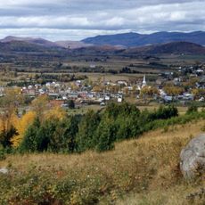
Saint-Jovite
46 km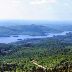
Lake Tremblant
35.1 km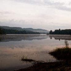
Papineau-Labelle Wildlife Reserve
40.2 km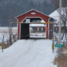
Pont Prud'homme
48.1 km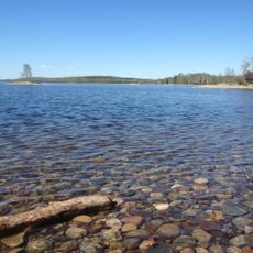
Réservoir Kiamika
30.3 km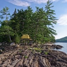
Poisson-Blanc Regional Park
59.9 km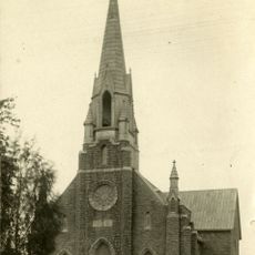
Notre-Dame-de-Fourvière Cathedral
39.6 km
Kiamika Reservoir Regional Park
29.9 km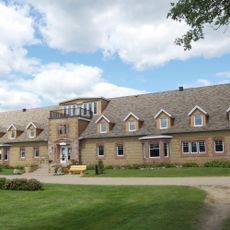
Domaine Saint-Bernard
43.3 km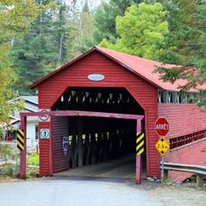
Pont Armand-Lachaîne
32.5 km
Pont Macaza
20.1 km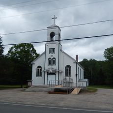
Église Notre-Dame-du-Mont-Carmel
42 km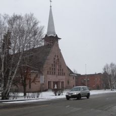
Église Notre-Dame-du-Très-Saint-Sacrement
46.3 km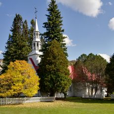
Chapelle Saint-Bernard
40.2 km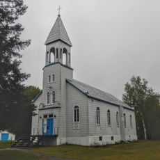
Site patrimonial de la Paroisse-de-Notre-Dame-des-Anges
38.6 km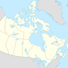
Grotte de la Maison de Pierre
41.3 km
Espace Théâtre
39.7 km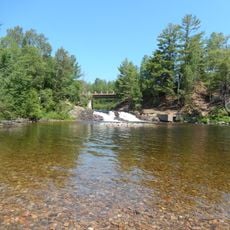
Chute aux Épinettes Rouges
42.2 km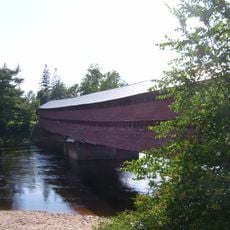
Pont Est de Ferme-Rouge
30.4 km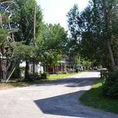
Site du patrimoine Beattie-des-Pins
45.5 km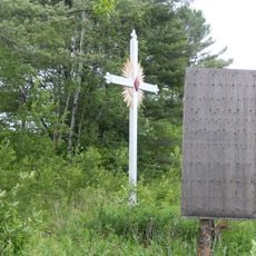
Domaine des Pères de Sainte-Croix
51.7 km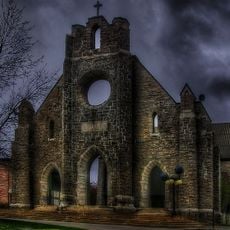
Façades de l'ancienne cathédrale de Notre-Dame-de-Fourvières
39.7 km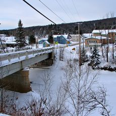
Pont de la Rivière-Rouge
22.8 km
Ancienne école de Notre-Dame-de-Fatima
37.5 km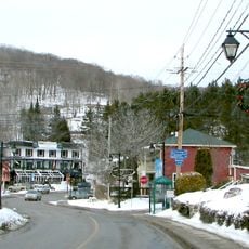
Le Village
38.8 kmReviews
Visited this place? Tap the stars to rate it and share your experience / photos with the community! Try now! You can cancel it anytime.
Discover hidden gems everywhere you go!
From secret cafés to breathtaking viewpoints, skip the crowded tourist spots and find places that match your style. Our app makes it easy with voice search, smart filtering, route optimization, and insider tips from travelers worldwide. Download now for the complete mobile experience.

A unique approach to discovering new places❞
— Le Figaro
All the places worth exploring❞
— France Info
A tailor-made excursion in just a few clicks❞
— 20 Minutes