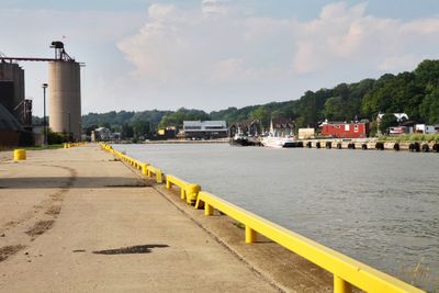
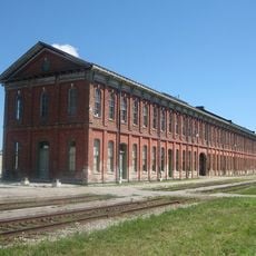
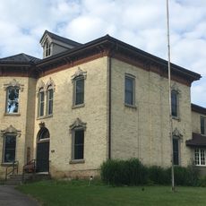
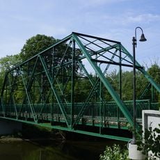
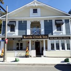
Central Elgin, municipality in Ontario, Canada
Location: Elgin County
Inception: 1822
Shares border with: London
Website: http://centralelgin.org
GPS coordinates: 42.76670,-81.10000
Latest update: March 4, 2025 19:17
Alma College
7.5 km
Jumbo the Elephant
8.9 km
North America Railway Hall of Fame
7.1 km
Southwold Earthworks
23.6 km
Elgin County Railway Museum
6.9 km
John Moore House
7.3 km
BX InterlockingTower
7.5 km
Hawk Cliff
12.4 km
473 Baker Street
25.2 km
38 Weston Street
25.2 km
Brick Street Cemetery
25.6 km
Michigan Central Railway (MCR) Bridge over Kettle Creek
9.4 km
Old Town Hall Building
9.6 km
Plan of Woodside Survey, London South, Property of Charles Hutchinson, Esq're
25.5 km
Scottsville Cemetery
20.4 km
700 Pond Mills Road
21.2 km
St. Thomas City Hall
7.7 km
Michigan Central Railway (MCR) Locomotive Repair Shops
6.9 km
Beacon Lodge
25.3 km
Chestnut Hill
25.4 km
Meadowlily Bridge
24 km
Kettle Creek Inn
14.5 km
The Forge and Anvil
7.3 km
97 High Street
25.4 km
95 High Street
25.4 km
Former St. Thomas Psychiatric Hospital
7.9 km
198 Emery Street East
25.3 km
School Reserve in the Broken Front of Westminster
25.1 kmVisited this place? Tap the stars to rate it and share your experience / photos with the community! Try now! You can cancel it anytime.
Discover hidden gems everywhere you go!
From secret cafés to breathtaking viewpoints, skip the crowded tourist spots and find places that match your style. Our app makes it easy with voice search, smart filtering, route optimization, and insider tips from travelers worldwide. Download now for the complete mobile experience.
A unique approach to discovering new places❞
— Le Figaro
All the places worth exploring❞
— France Info
A tailor-made excursion in just a few clicks❞
— 20 Minutes