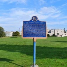
Southwold Earthworks, Indigenous archaeological site in Iona, Canada
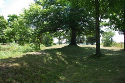
Southwold Earthworks is an archaeological site near Iona in Ontario featuring a distinctive double oval of raised embankments surrounding an ancient village settlement. The site displays a clear concentric structure with multiple defensive rings that once protected the settlement from external threats.
The site was inhabited and fortified between 1450 and 1550 by the Attiwandaron, also known as the Neutrals to early French observers. This period represents a significant era of settlement activity before external conflicts reshaped the region.
The name comes from a local family whose land once included the site, and the layout reveals how people organized their shared living spaces within protective rings. The earthworks show how the community arranged itself around central gathering areas for daily activities and collective life.
The site is located three kilometers south of Iona on Iona Road and is easy to reach by car or on foot. Visitors can explore the earthworks at their own pace with no admission fee required.
The central open space within the earthwork rings served as the community's main gathering and activity area, with the principal entrance carefully positioned at the northeast corner. This deliberate placement reveals thoughtful planning for managing movement in and out of the protected settlement.
The community of curious travelers
AroundUs brings together thousands of curated places, local tips, and hidden gems, enriched daily by 60,000 contributors worldwide.