
Saint-Louis-de-Kent, former village in New Brunswick, Canada
Location: Beaurivage
Inception: 1797
Website: http://st-louis-de-kent.ca
GPS coordinates: 46.73800,-64.97400
Latest update: June 16, 2025 04:08

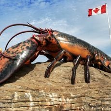
The World's Largest Lobster
66.1 km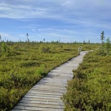
Kouchibouguac National Park
12.4 km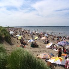
Parlee Beach Provincial Park
65.5 km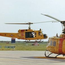
CFB Chatham
47.3 km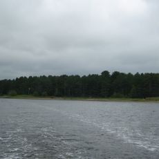
Beaubears Island
52.6 km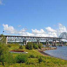
Centennial Bridge
50.4 km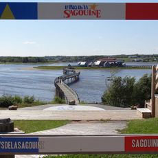
Le Pays de la Sagouine
36.5 km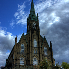
St. Michael's Basilica
49.3 km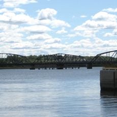
Morrissy Bridge
53 km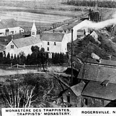
Notre Dame du Calvaire Abbey
36 km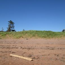
Cedar Dunes Provincial Park
47 km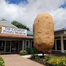
Canadian Potato Museum & Antique Farm Machinery Museum
56.5 km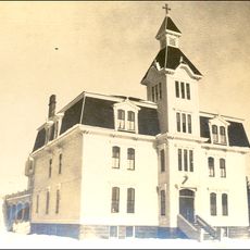
Musée de Kent
35.5 km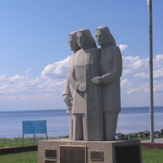
Escuminac Disaster Memorial
38.5 km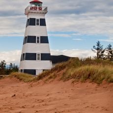
West Point Lighthouse
46.7 km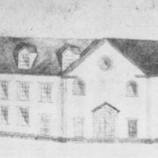
Collège Saint-Louis
696 m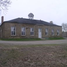
Seaman's Hospital
51.6 km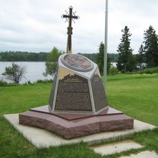
The Enclosure Provincial Park
52.8 km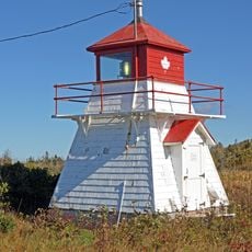
Howards Cove Light
45.6 km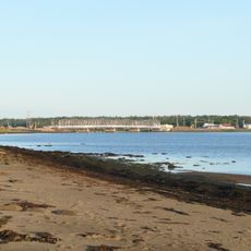
Havre de Cocagne
52.4 km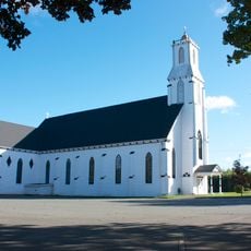
St. Anthony's Roman Catholic Church, Bloomfield
60.9 km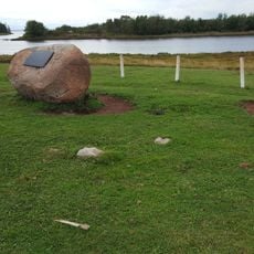
Pierre Jacques Pioneer Cemetery
51.9 km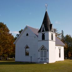
Cascumpec United Church
66.1 km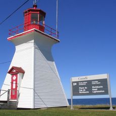
Richibucto Head Lighthouse
21.4 km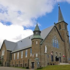
St. John the Baptist Catholic Church
35.3 km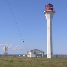
Point Escuminac Lighthouse
39.6 km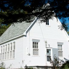
Former Fortune Cove Schoolhouse
64.6 km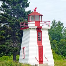
Lower Néguac Rear Range Lighthouse
58.6 kmVisited this place? Tap the stars to rate it and share your experience / photos with the community! Try now! You can cancel it anytime.
Discover hidden gems everywhere you go!
From secret cafés to breathtaking viewpoints, skip the crowded tourist spots and find places that match your style. Our app makes it easy with voice search, smart filtering, route optimization, and insider tips from travelers worldwide. Download now for the complete mobile experience.

A unique approach to discovering new places❞
— Le Figaro
All the places worth exploring❞
— France Info
A tailor-made excursion in just a few clicks❞
— 20 Minutes