Enable Location

We need your location to show you interesting places around you

Discover nearby places

Find interesting locations and hidden gems around you

Precise directions

Get accurate directions and distances to places

Your location is never shared with other users. It's only used when you tap the location button.

Beaubears Island

Log in to your account

Start exploring — it's free

Trusted by 62,013 travelers worldwide

Continue with Google
Continue with Apple
or

We will send you a code to connect

By continuing, you accept our Terms and Conditions and our Privacy Policy

Check your inbox

We've sent a pincode in your inbox. Please enter the code below.

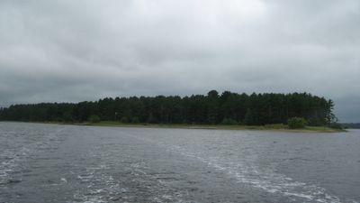
Beaubears Island, National historic site and river island in Derby Parish, Canada

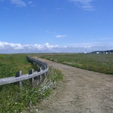
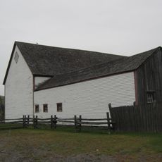
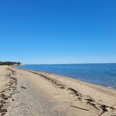
Beaubears Island is a river island where the Southwest and Northwest Miramichi River meet, featuring native pine forests and restored walking trails. The site includes excavated foundations and marked paths that allow for several kilometers of exploration.

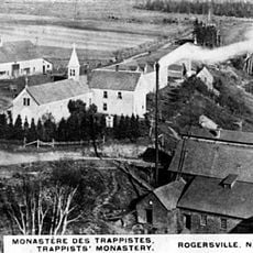
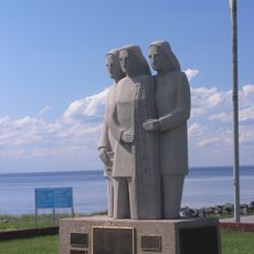
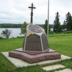
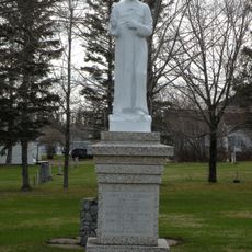
In 1755 Charles Deschamps de Boishébert established a refuge camp for Acadians fleeing deportation. The island later became a shipbuilding center in the 1800s before its role changed.

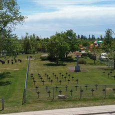
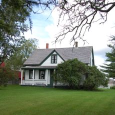
Archaeological remains show how Acadians lived on the island, including building foundations and burial sites visitors can explore. These discoveries help you understand the daily routines and community life of past residents.

Access to the island is by ferry, and comfortable walking shoes are important since trails go through forest and uneven ground. Guided tours are available, and the best visiting season is during warmer months when all paths are open.

The camp was called Camp d'Espérance, meaning Camp of Hope, a name that reflected its role as a sanctuary for desperate refugees. This sense of refuge remains visible in the ruins and stories that visitors discover today.

The community of curious travelers

AroundUs brings together thousands of curated places, local tips, and hidden gems, enriched daily by 60,000 contributors worldwide.

Start exploring
Location
GPS coordinates
46.97170,-65.57420
Latest update
December 21, 2025 16:05
« Beaubears Island - National historic site and river island in Derby Parish, Canada » is provided by Around Us (aroundus.com). Images and texts are derived from Wikimedia project under a Creative Commons license. You are allowed to copy, distribute, and modify copies of this page, under the conditions set by the license, as long as this note is clearly visible.

Discover hidden gems everywhere you go!

From secret cafés to breathtaking viewpoints, skip the crowded tourist spots and find places that match your style. Our app makes it easy with voice search, smart filtering, route optimization, and insider tips from travelers worldwide. Download now for the complete mobile experience.

Around Us App Screenshot

A unique approach to discovering new places

Le Figaro

All the places worth exploring

France Info

A tailor-made excursion in just a few clicks

20 Minutes

Around Us
Travel Guide & Maps
Download

Send to your phone

QR Code
1

Open the camera app on your mobile.

2

Point at the QR code with your camera. A notification will appear.

3

Tap the notification to open the link.