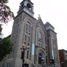
Saint-Pierre, Administrative sector in Lachine, Canada
Saint-Pierre is an administrative sector within Lachine, a borough of Montreal, situated along the Lachine Canal between the neighboring districts of LaSalle and Montreal West. It is made up of residential streets, small parks, and community facilities spread across a compact urban area.
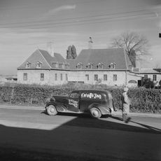
The land that forms this sector was part of the Montreal Island Seignory, granted in 1640 to Jérôme Le Royer de la Dauversière and Pierre Chevrier. Over the following centuries, the area gradually shifted from a rural territory into an urban neighborhood as the city of Montreal expanded westward.
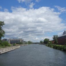
The Lachine Canal runs along the edge of this sector and today serves as a place where people walk, cycle, and spend time outdoors. The towpath connects residents to the wider city in a way that feels more like a local route than a tourist trail.
The neighbourhood is hemmed in by Canadian Pacific and Canadian National railway lines and the Saint-Pierre highway interchange, so entry is easiest via Autoroute 20 (Autoroute du Souvenir), which crosses the southern part east to west, or via rue Saint-Jacques, the main commercial artery linking Lachine, Montreal West and Notre-Dame-de-Grâce. Avenue Dollard connects toward LaSalle, and rues des Érables and Norman are the main local streets.
A small waterway called the Little Saint-Pierre River once ran openly through this area but now flows entirely through underground channels beneath the streets. Anyone walking through the neighborhood today would have no way of knowing that a river still moves under their feet.
The community of curious travelers
AroundUs brings together thousands of curated places, local tips, and hidden gems, enriched daily by 92,663 contributors worldwide.