
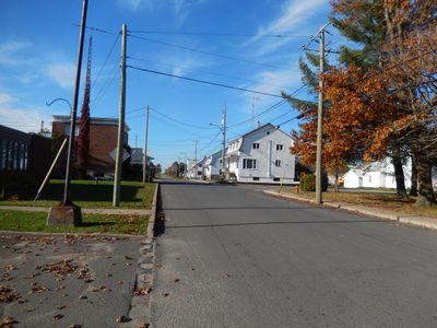
Saint-Sylvère, municipality in Quebec, Canada
Location: Bécancour
Inception: October 7, 1887
Shares border with: Bécancour, Saint-Wenceslas, Saint-Célestin, Aston-Jonction, Sainte-Marie-de-Blandford, Lemieux, Maddington Falls, Daveluyville
Website: http://saint-sylvere.ca
GPS coordinates: 46.23330,-72.21670
Latest update: March 3, 2025 14:38

Cogeco Amphitheatre
27.3 km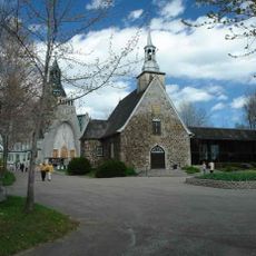
Notre-Dame-du-Cap Shrine
26.4 km
Cap-de-la-Madeleine
26.4 km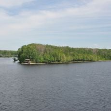
Île Saint-Quentin
27.3 km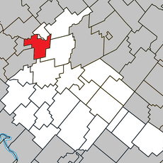
Sainte-Anne-du-Sault
8.5 km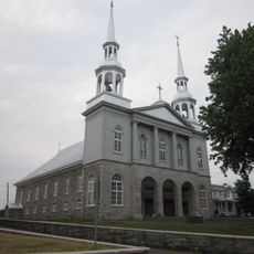
Saint-Grégoire
23 km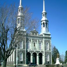
Church of Our Lady of the Visitation
25.1 km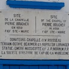
Sainte-Marthe-du-Cap
26.5 km
975, rue Notre-Dame
25.1 km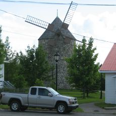
Moulin à vent de Saint-Grégoire
23.1 km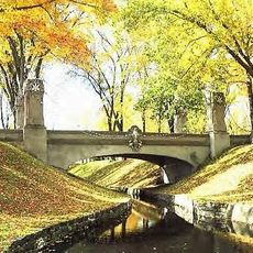
Pont des Chapelets
26.3 km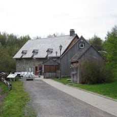
Moulin Michel
20.1 km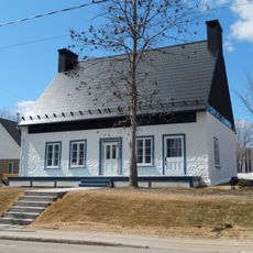
Maison Rocheleau
26.4 km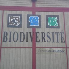
Centre de la biodiversité du Québec
24.4 km
Fort Sainte-Marie
26.5 km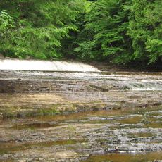
Rivière-Gentilly Regional Park
8.7 km
Church of St Gregory
23.2 km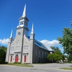
Church of St Edward
19.5 km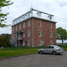
Résidence du Bon-Pasteur
25 km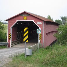
Pont des Raymond
14.6 km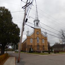
Daveluyville
7.4 km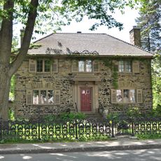
669, rue des Ursulines
27.4 km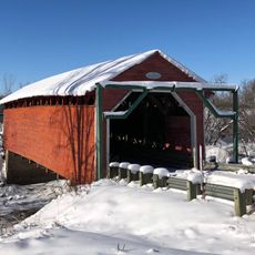
Pont Étienne-Poirier
13.9 km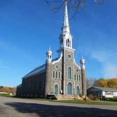
Église de Saint-Sylvère
522 m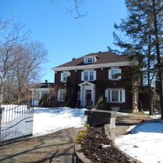
653, rue des Ursulines
27.4 km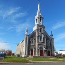
Église de Saint-Wenceslas
11.3 km
Cœur historique du secteur de Cap-de-la-Madeleine
26.4 km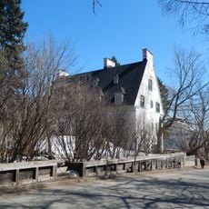
Maison Ritchie
27.4 kmVisited this place? Tap the stars to rate it and share your experience / photos with the community! Try now! You can cancel it anytime.
Discover hidden gems everywhere you go!
From secret cafés to breathtaking viewpoints, skip the crowded tourist spots and find places that match your style. Our app makes it easy with voice search, smart filtering, route optimization, and insider tips from travelers worldwide. Download now for the complete mobile experience.

A unique approach to discovering new places❞
— Le Figaro
All the places worth exploring❞
— France Info
A tailor-made excursion in just a few clicks❞
— 20 Minutes