Chatsworth, Rural community in Grey County, Canada
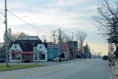
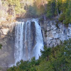
Chatsworth is a rural community in Grey County that spans across the intersection of Highways 6 and 10. The area includes several smaller villages like Berkeley, Desboro, Dornoch, and Walters Falls that together form this broader municipality.
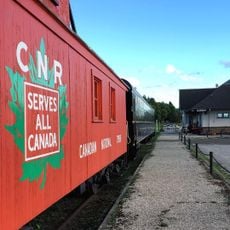
The settlement started in 1848 as the northern end of the Toronto-Sydenham Colonization Road, an early trading route that later developed into what is now Highway 10. This original connection shaped how the region grew and developed over time.
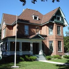
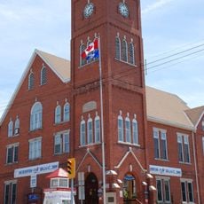
This community brings together several small villages, each keeping its own local character while forming part of a larger whole. Walking through these settlements, you notice how each maintains its own distinct feel while sharing a connection to the broader township.
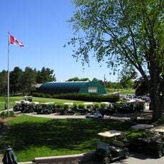
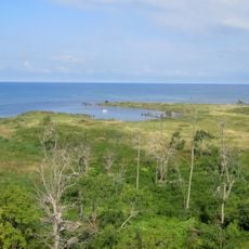
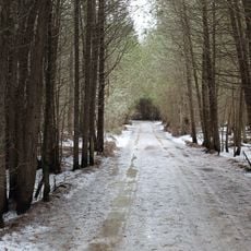
This is an open rural area accessed by the two main highways, which makes navigation straightforward. Since it is a rural area with limited services, visitors should plan ahead and bring what they may need for their visit.
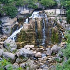
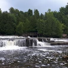
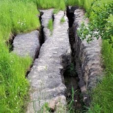
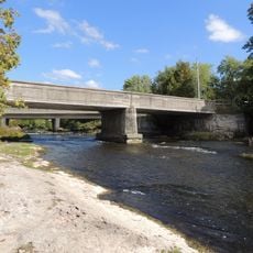
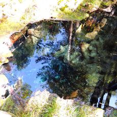
This area contains the source waters of six river systems including the Styx, Saugeen, Sauble, Bighead, and Spey. These waterways shape the landscape and make the region significant for several different ecosystems.
Location: Chatsworth
Elevation above the sea: 292 m
GPS coordinates: 44.45389,-80.89500
Latest update: December 12, 2025 16:40
Inglis Falls
8.6 km
Sauble Falls Provincial Park
37.8 km
Chantry Island Lightstation Tower
40.4 km
Billy Bishop Home and Museum
13.2 km
Eramosa
23 km
Saugeen Golf Club
36.3 km
Community Waterfront Heritage Centre
13.6 km
Bruce County Museum & Cultural Centre
37.9 km
Tom Thomson Art Gallery
12.9 km
Sauble Falls Bridge
37.9 km
Black History Cairn (Owen Sound, Ontario)
10.9 km
Chantry Island Migratory Bird Sanctuary
40.6 km
Hose Tower Pump House and Garage
34.2 km
Eugenia Falls
33.2 km
Inglis Falls Conservation Area
6.9 km
Saugeen River Front Range Lighthouse
38.5 km
Sulphur Spring Conservation Area
38 km
Eugenia Falls Conservation Area
33.3 km
Allan Park Conservation Area
34.7 km
Southampton Town Hall
38.1 km
1005 2nd Avenue East
13.3 km
Paisley Town Hall
34.2 km
Hose Tower
34.2 km
Walkerton Public Library
41.1 km
Hartley House
41 km
Journey's End - Captain Spence House
38.4 km
Old McNeil Estate
39.4 km
Morton section of the Bruce County Museum (formerly 1878 Public School Building)
37.9 kmVisited this place? Tap the stars to rate it and share your experience / photos with the community! Try now! You can cancel it anytime.
Discover hidden gems everywhere you go!
From secret cafés to breathtaking viewpoints, skip the crowded tourist spots and find places that match your style. Our app makes it easy with voice search, smart filtering, route optimization, and insider tips from travelers worldwide. Download now for the complete mobile experience.
A unique approach to discovering new places❞
— Le Figaro
All the places worth exploring❞
— France Info
A tailor-made excursion in just a few clicks❞
— 20 Minutes