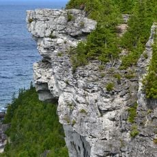
Eramosa, Silurian stratigraphic formation in Bruce Peninsula, Canada
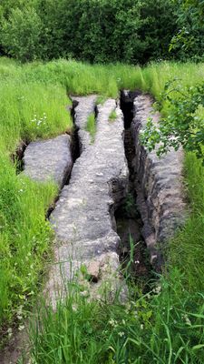
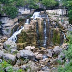
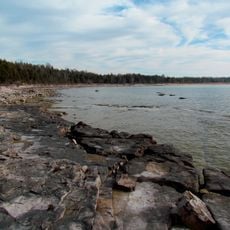
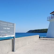
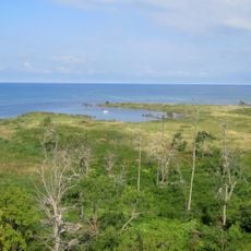
Eramosa is a Silurian rock formation found across the Bruce Peninsula region of Ontario, composed primarily of dolomite that creates a distinct geological layer. The rock unit appears in several areas where it has shaped the local landscape and foundation.
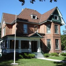
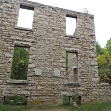
The formation developed during the Silurian period as seafloor sediment in ancient shallow marine environments millions of years ago. In the late 1800s, quarries became important sources of building stone for construction in nearby towns.
The Eramosa Karst Conservation Area preserves multiple caves and geological features within the formation, representing Ontario's natural geological heritage.
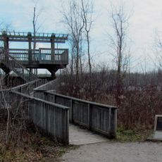
The area is accessible through regional fieldwork and geological resources documented by the Ontario Geological Survey. Visitors interested in geology can access information through local museums or scientific guides in the region.
Quarries within this formation have yielded exceptionally preserved fossils, including eurypterids and rare marine organisms with intact details. These discoveries make the site significant for paleontological research and study.
Location: Ontario
GPS coordinates: 44.60000,-81.10000
Latest update: December 14, 2025 11:20
Inglis Falls
15.5 km
Inverhuron Provincial Park
51.2 km
MacGregor Point Provincial Park
34.8 km
Lion's Head Provincial Park
44.9 km
Sauble Falls Provincial Park
15 km
Chatsworth
23 km
Chantry Island Lightstation Tower
26.9 km
Billy Bishop Home and Museum
12.6 km
Lion's Head Light
45 km
Cape Croker Light
41.1 km
Saugeen Golf Club
24.6 km
Community Waterfront Heritage Centre
12.7 km
Bruce County Museum & Cultural Centre
24.2 km
Tom Thomson Art Gallery
12.9 km
Black History Cairn (Owen Sound, Ontario)
14.2 km
Sauble Falls Bridge
15 km
Hose Tower Pump House and Garage
35.5 km
Chantry Island Migratory Bird Sanctuary
27.2 km
Griffith Island Light
32.4 km
Southampton Town Hall
24.5 km
Inglis Falls Conservation Area
16.3 km
1005 2nd Avenue East
12.9 km
Paisley Town Hall
35.4 km
Saugeen River Front Range Lighthouse
24.4 km
Hose Tower
35.5 km
Journey's End - Captain Spence House
24.6 km
Morton section of the Bruce County Museum (formerly 1878 Public School Building)
24.2 km
Old McNeil Estate
18.5 kmVisited this place? Tap the stars to rate it and share your experience / photos with the community! Try now! You can cancel it anytime.
Discover hidden gems everywhere you go!
From secret cafés to breathtaking viewpoints, skip the crowded tourist spots and find places that match your style. Our app makes it easy with voice search, smart filtering, route optimization, and insider tips from travelers worldwide. Download now for the complete mobile experience.
A unique approach to discovering new places❞
— Le Figaro
All the places worth exploring❞
— France Info
A tailor-made excursion in just a few clicks❞
— 20 Minutes