
Iona, human settlement in Nova Scotia, Canada
Location: Victoria County
Shares border with: Grand Narrows
GPS coordinates: 45.96250,-60.80472
Latest update: June 18, 2025 08:49
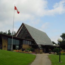
Alexander Graham Bell National Historic Site
16.3 km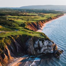
Cabot Links
49.2 km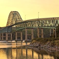
Seal Island Bridge
38.7 km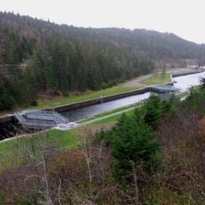
St. Peters Canal
34.5 km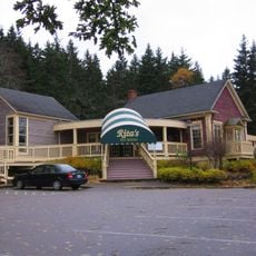
Big Pond
21.6 km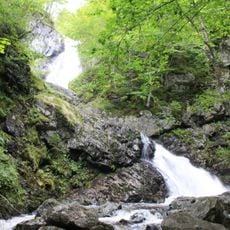
Uisage Ban Falls Provincial Park
26.9 km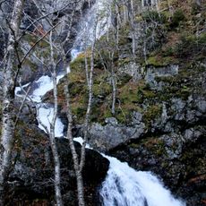
Uisage Ban Falls
28 km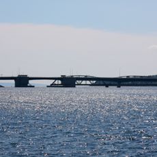
Barra Strait Bridge
526 m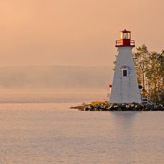
Kidston Island Lighthouse
15.9 km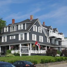
Telegraph House
15.8 km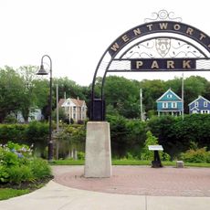
Wentworth Park
50.9 km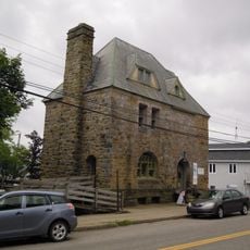
Gilbert H. Grosvenor Hall
16 km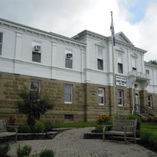
Victoria County Court House
15.9 km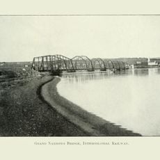
Grand Narrows Bridge
448 m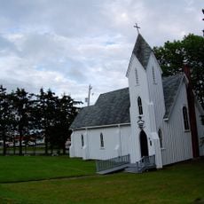
Saint Peter's and Saint John's Anglican Church
15.5 km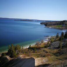
Bras d'Or Lake Biosphere Reserve
11.5 km
Ben Eoin Provincial Park
26.7 km
Sgurra Bhreac
29.3 km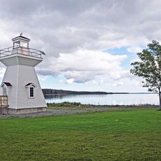
Lennox Passage Provincial Park
44.5 km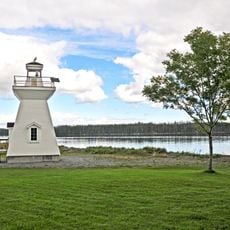
Grandique Point Lighthouse
44.4 km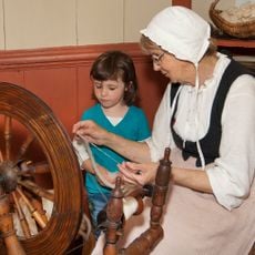
The Highland Village Museum
2 km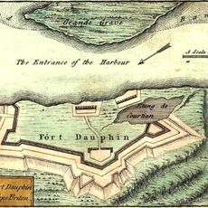
Fort Dauphin
41.2 km
Dundee Resort & Golf Club
36.5 km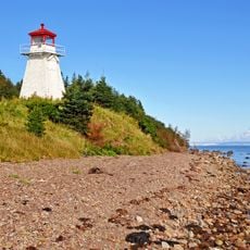
Cape George Harbour light
25.4 km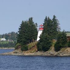
Battery Provincial Park
34.6 km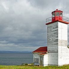
Black Rock Point light
49.7 km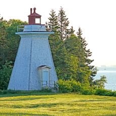
Gillis Point Lighthouse
7.1 km
Irish Cove Provincial Park
18.6 kmReviews
Visited this place? Tap the stars to rate it and share your experience / photos with the community! Try now! You can cancel it anytime.
Discover hidden gems everywhere you go!
From secret cafés to breathtaking viewpoints, skip the crowded tourist spots and find places that match your style. Our app makes it easy with voice search, smart filtering, route optimization, and insider tips from travelers worldwide. Download now for the complete mobile experience.

A unique approach to discovering new places❞
— Le Figaro
All the places worth exploring❞
— France Info
A tailor-made excursion in just a few clicks❞
— 20 Minutes