St. Peters Canal, Canal and national historic site in Richmond County, Canada
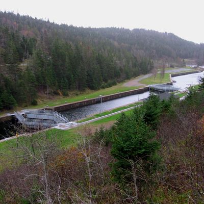
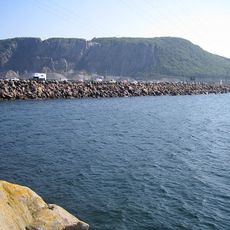
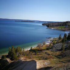
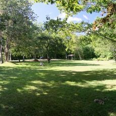
St. Peters Canal is an artificial waterway that cuts roughly 800 meters through a granite ridge, connecting St. Peters Inlet of Bras d'Or Lake to St. Peters Bay opening onto the Atlantic Ocean. The waterway is about 30 meters wide and serves as a navigable shortcut that boats use to avoid lengthy coastal travel.
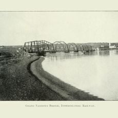
Construction of the waterway began in 1854 and concluded in 1869, replacing an ancient portage trail that indigenous peoples and French fur traders had relied upon for centuries. The completion of this engineering project transformed maritime travel throughout the region by providing a direct passage between two distinct water systems.
The canal area reveals traces of Mi'kmaq and Acadian communities from the 17th and 18th centuries through archaeological finds scattered across the site. These remains show how different peoples valued this waterway as a crucial meeting point for trade and exchange.
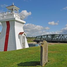
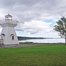
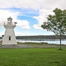
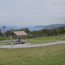
The waterway operates from May through October under the care of Parks Canada, which maintains the navigation channels and facilities. A lock system manages the different water levels at each end, allowing various sized vessels to pass through safely.
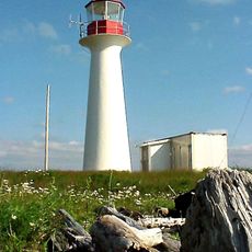
The waterway features a rare double-gate lock design that is the only one of its kind in North America, specifically engineered to handle the contrasting tidal patterns between lake and ocean water. This unusual construction was essential because the two bodies of water experience completely different water level changes throughout the day.
The community of curious travelers
AroundUs brings together thousands of curated places, local tips, and hidden gems, enriched daily by 60,000 contributors worldwide.