Sgurra Bhreac, Mountain summit in Cape Breton Island, Nova Scotia, Canada.
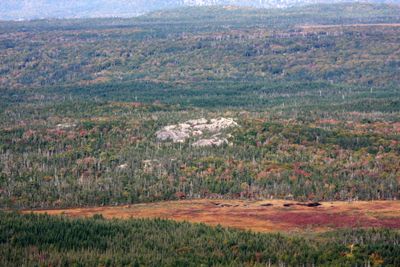
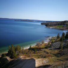
Sgurra Bhreac is a mountain summit rising 222 meters above sea level as part of the East Bay Hills on Cape Breton Island, located north of Bras d'Or Lake. The peak sits among rolling terrain marked by wetlands and smaller water bodies that dot the surrounding landscape.
The mountain received its official name designation in December 1924 and was documented through geodetic survey markers installed before 1921. These markers were later upgraded in 1969, establishing this location as a registered geographic reference point in the region.
The name comes from Gaelic language traditions and refers to geographical features with spotted or marked characteristics found throughout Nova Scotia. This linguistic heritage reflects the Scottish roots that run deep in this region.
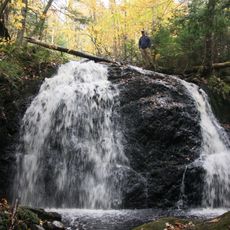
Hikers reach the summit through back roads such as Glengarry Road or unmarked trails near Rear Big Pond, about 30 kilometers west of Sydney. The route to the top is not always clearly marked, so visitors should be familiar with maps or GPS devices and prepared for variable ground conditions.
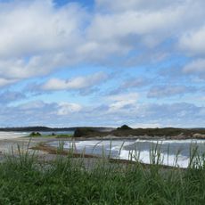
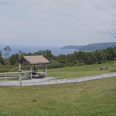
From the peak, visitors can gaze across a wide expanse that includes Sydney, Glace Bay, and an extensive network of lakes, ridges and valleys stretching into the distance. The numerous bogs threading through the landscape create a distinctive character that makes the visit memorable.
The community of curious travelers
AroundUs brings together thousands of curated places, local tips, and hidden gems, enriched daily by 60,000 contributors worldwide.