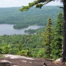
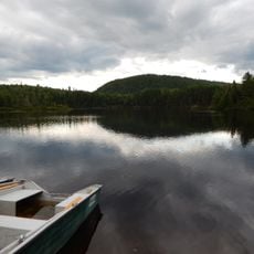
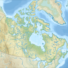
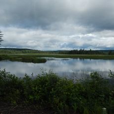
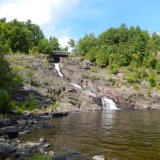
Lac Sacacomie, Natural lake in Saint-Alexis-des-Monts, Canada.
Lac Sacacomie is a body of water in Saint-Alexis-des-Monts with two main sections connected by land projections. It contains several islands and forms a sizable expanse of water.
The water was documented in 1749 by Pehr Kalm, who connected the name to a plant that French settlers mixed into their tobacco. This early record shows how the place mattered to early European communities.
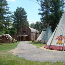
The Abenaki people named this water Sagakhimen, a word referring to blueberries that grew abundantly in the surrounding region.
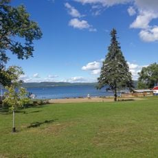
A municipal dock provides boat access near parking areas and launching ramps. Fees apply for non-residents and those using motorized watercraft.
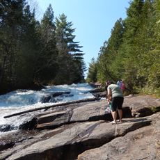
The water has multiple bays along different shorelines, connected to the surrounding river system through a waterway. This structure creates varied landscapes for those on the water.
The community of curious travelers
AroundUs brings together thousands of curated places, local tips, and hidden gems, enriched daily by 60,000 contributors worldwide.