
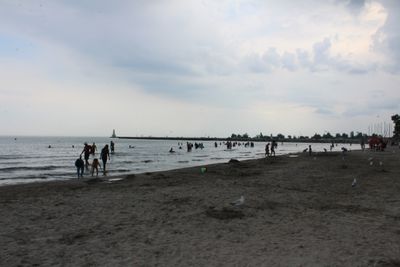
Victoria Park, beach and park in Cobourg, Ontario
Location: Cobourg
Inception: 1894
Address: 55 Queen Street
GPS coordinates: 43.95905,-78.16205
Latest update: March 21, 2025 08:11
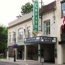
Capitol Theatre
10.6 km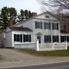
Barnum House
10.1 km
Victoria Hall
463 m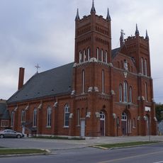
St. Michael's Church
716 m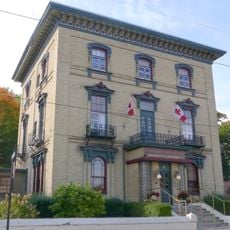
Port Hope City Dairy
10.7 km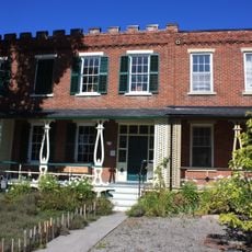
Barrett's Terrace
10.6 km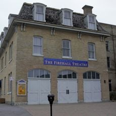
Second Street Fire Hall
434 m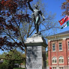
Col. Arthur T.H. Williams Monument
10.6 km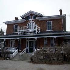
Ballintruan/St. Hugh's House
9.2 km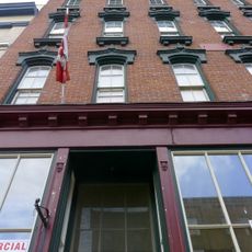
St. Lawrence Hall Block
10.7 km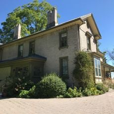
Hill and Dale
10.8 km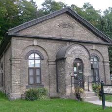
Land Registry Office
10.4 km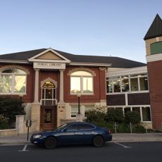
Mary J. Benson Branch
10.5 km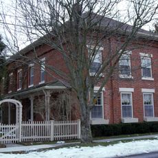
Joseph Clarke House
10.3 km
Smith Block
10.5 km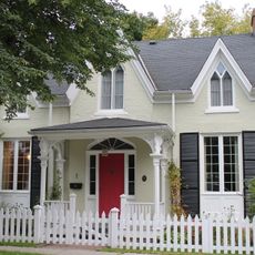
Robert Mitchell House
10.3 km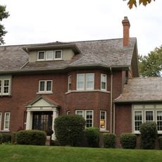
Charles Wickett House
10.3 km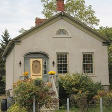
Little Bluestone
10.3 km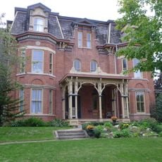
57 King Street
10.3 km
59 King Street
10.3 km
Hooey Cottage
10.4 km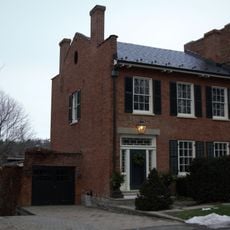
Smith House
10.3 km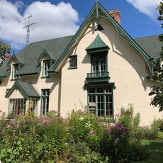
Fairmount
9.3 km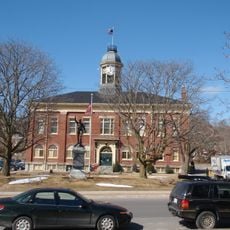
Port Hope Town Hall
10.6 km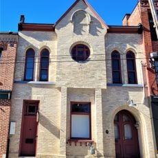
Orange Hall
10.7 km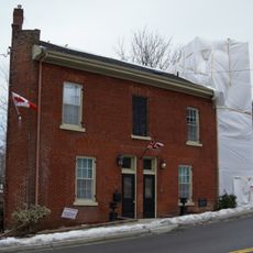
Blackham's Hotel
10.7 km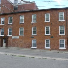
Chalk Works
10.7 km
Penstowe
10.5 kmVisited this place? Tap the stars to rate it and share your experience / photos with the community! Try now! You can cancel it anytime.
Discover hidden gems everywhere you go!
From secret cafés to breathtaking viewpoints, skip the crowded tourist spots and find places that match your style. Our app makes it easy with voice search, smart filtering, route optimization, and insider tips from travelers worldwide. Download now for the complete mobile experience.

A unique approach to discovering new places❞
— Le Figaro
All the places worth exploring❞
— France Info
A tailor-made excursion in just a few clicks❞
— 20 Minutes