
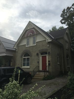
421 Central Avenue, house in London, Ontario, Canada
Location: London
Inception: 1897
Part of: West Woodfield Heritage Conservation District
Address: 421 Central Avenue
GPS coordinates: 42.99250,-81.24184
Latest update: March 20, 2025 10:03

Victoria Park
715 m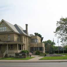
Banting House
856 m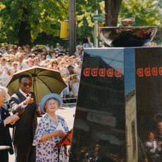
Flame of Hope
879 m
One London Place
850 m
City Centre Towers
850 m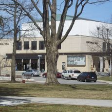
Centennial Hall
541 m
Dundas Street Centre United Church
667 m
Oakhurst
813 m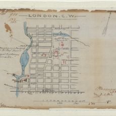
London CW
627 m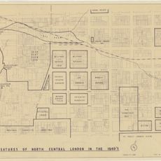
Features of North Central London in the 1840s
627 m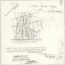
Crown Lands Dept Plan of London
627 m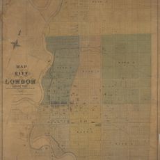
Map of the City of London Canada West
627 m
Fire Hall No. 4
864 m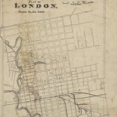
Plan of London shewing the gas lamps
888 m
London C.W. Sketch of Country
627 m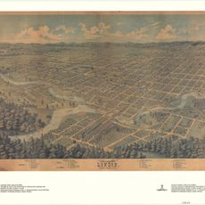
Bird's Eye View of London, Ontario, Canada, 1872
627 m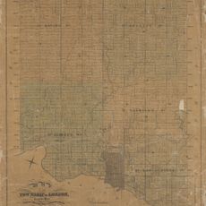
Map of the Township of London, Canada West, 1863
888 m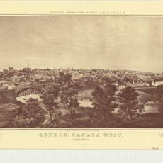
London, Canada West
627 m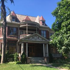
308 Princess Avenue
432 m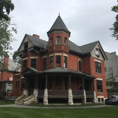
496 Waterloo Street
450 m
419 Central Avenue
12 m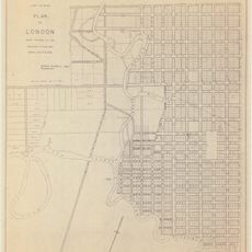
Plan of London
627 m
Ontario and Quebec Ry. Detroit Extension Plan and Profile of Right-of-way Through the City of London, West of Richmond Street
627 m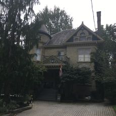
527 Princess Avenue
435 m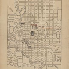
Proposed Route of the West Ontario Pacific Railroad through the City of London
767 m
501-503 Colborne Street
329 m
22 Peter Street
545 m
Elsie Perrin Williams Memorial Library
723 mVisited this place? Tap the stars to rate it and share your experience / photos with the community! Try now! You can cancel it anytime.
Discover hidden gems everywhere you go!
From secret cafés to breathtaking viewpoints, skip the crowded tourist spots and find places that match your style. Our app makes it easy with voice search, smart filtering, route optimization, and insider tips from travelers worldwide. Download now for the complete mobile experience.

A unique approach to discovering new places❞
— Le Figaro
All the places worth exploring❞
— France Info
A tailor-made excursion in just a few clicks❞
— 20 Minutes