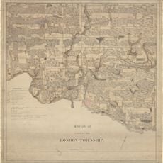
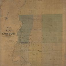
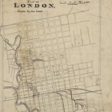
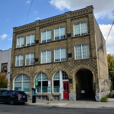
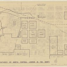
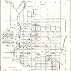
London, Regional city in Middlesex County, Canada
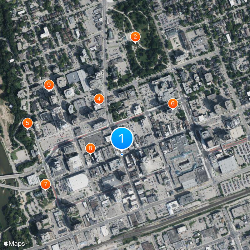
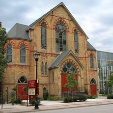
London is a city in Middlesex County in southwestern Ontario, spreading across both sides of the Thames River. The layout connects residential areas with parks, woodlands, and walking trails that run throughout the urban territory.
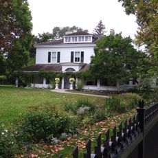
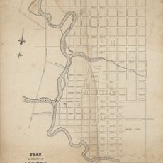
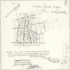
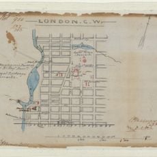
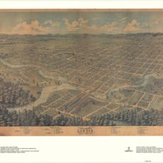
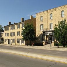
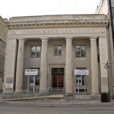
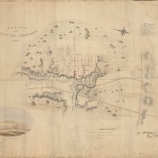
The settlement began in 1826 and grew into a transportation hub following the arrival of the Great Western Railway in 1853. The railway connection transformed the small community into a trade center for southwestern Ontario.
Local artists and students from the nearby university shape daily life across neighborhoods with galleries, live music, and street art. Residents gather regularly at neighborhood markets and parks where community festivals and sporting events take place throughout the year.
The public transit system with over 40 bus routes connects residential neighborhoods to commercial districts, schools, and hospitals across the city. Most areas are accessible on foot or by bicycle during the day, especially along the river paths.
The Blackfriars Bridge built in 1875 is the oldest working wrought iron bowstring arch bridge in all of North America. Pedestrians still cross it on the same historic framework that was imported from England over a century ago.
Location: Middlesex County
Inception: 1826
Elevation above the sea: 251 m
Shares border with: Kitchener, Aylmer
Website: https://london.ca
GPS coordinates: 42.98370,-81.24970
Latest update: December 2, 2025 23:10
Victoria Park
557 m
One London Place
337 m
Grand Theatre
270 m
Eldon House
485 m
City Centre Towers
337 m
Middlesex County Court House
418 m
London Hydro Substation No. 4
156 m
First Christian Reformed Church
479 m
1 Dundas Street
544 m
Plan of the Town of London, CW, Published by The Craig, London, 1846
385 m
Crown Lands Dept Plan of London
643 m
Sketch of part of the London Township
385 m
Map of the City of London Canada West
643 m
Map of the Township of London, Canada West, 1863
385 m
Plan of London shewing the gas lamps
385 m
350 Talbot Street
265 m
330 Clarence Street
338 m
London CW
643 m
London, Canada West, 1840-1841
385 m
Bird's Eye View of London, Ontario, Canada, 1872
643 m
London C.W. Sketch of Country
643 m
Features of North Central London in the 1840s
643 m
Map of the city of London, surveyed and drawn by Sam'l Peters, P.L.S., published by Geo. Railton, for the London Directory, 1856
385 m
Ridout Street Complex
419 m
London and Western Trusts Building
190 m
London Mechanics' Institute
242 m
Elsie Perrin Williams Memorial Library
537 m
Sketch of the position of London, U.C. Nov'r 1839
385 mReviews
Visited this place? Tap the stars to rate it and share your experience / photos with the community! Try now! You can cancel it anytime.
Discover hidden gems everywhere you go!
From secret cafés to breathtaking viewpoints, skip the crowded tourist spots and find places that match your style. Our app makes it easy with voice search, smart filtering, route optimization, and insider tips from travelers worldwide. Download now for the complete mobile experience.
A unique approach to discovering new places❞
— Le Figaro
All the places worth exploring❞
— France Info
A tailor-made excursion in just a few clicks❞
— 20 Minutes