
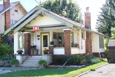
437 Victoria Street, house in London, Ontario, Canada
Location: London
Inception: 1925
Address: 437 Victoria Street
GPS coordinates: 43.00589,-81.24859
Latest update: March 13, 2025 02:27
Victoria Park
1.9 km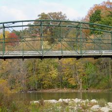
Blackfriars Street Bridge
2 km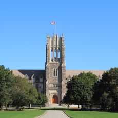
St. Peter's Seminary
768 m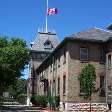
The Royal Canadian Regiment Museum
1.4 km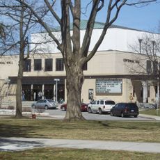
Centennial Hall
1.9 km
260 Sydenham Street
1 km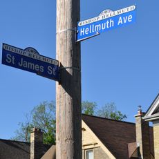
Bishop Hellmuth Heritage Conservation District
833 m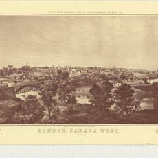
London, Canada West
2.2 km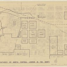
Features of North Central London in the 1840s
2.2 km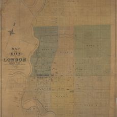
Map of the City of London Canada West
2.2 km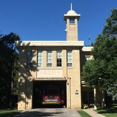
Fire Hall No. 4
740 m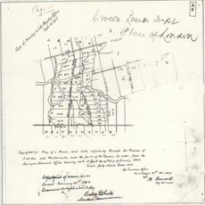
Crown Lands Dept Plan of London
2.2 km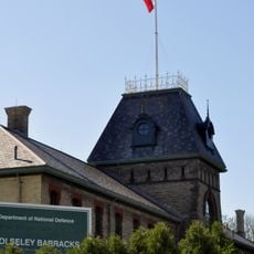
Wolseley Barracks
1.4 km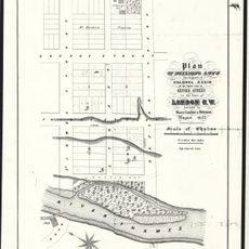
Plan of Building Lots, The Property of Colonel Askin, on the north side of Oxford Street, in the town of London C.W.
1.2 km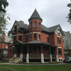
496 Waterloo Street
2 km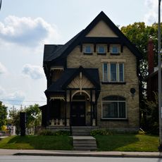
165 Oxford Street East
1.4 km
308 Princess Avenue
1.8 km
Goodholme
930 m
419 Central Avenue
1.6 km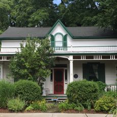
22 Peter Street
2.1 km
501-503 Colborne Street
1.9 km
527 Princess Avenue
1.9 km
36 Grosvenor Street
938 m
Blackfriars Bridge
2 km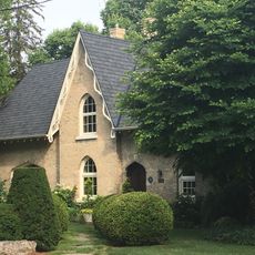
Thornwood/Becher House
1.1 km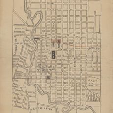
Proposed Route of the West Ontario Pacific Railroad through the City of London
1.2 km
421 Central Avenue
1.6 km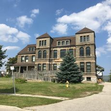
T Block
1.7 kmVisited this place? Tap the stars to rate it and share your experience / photos with the community! Try now! You can cancel it anytime.
Discover hidden gems everywhere you go!
From secret cafés to breathtaking viewpoints, skip the crowded tourist spots and find places that match your style. Our app makes it easy with voice search, smart filtering, route optimization, and insider tips from travelers worldwide. Download now for the complete mobile experience.

A unique approach to discovering new places❞
— Le Figaro
All the places worth exploring❞
— France Info
A tailor-made excursion in just a few clicks❞
— 20 Minutes