
Pont Burns, bridge in Saint-Jean-de-Matha, Quebec, Canada
Location: Saint-Jean-de-Matha
GPS coordinates: 46.24806,-73.58500
Latest update: April 3, 2025 02:04
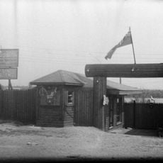
Canadiana Village
21 km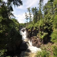
Chutes-Dorwin Park
25.6 km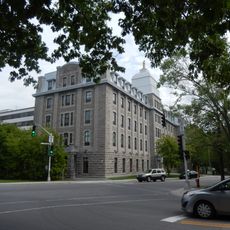
Cégep régional de Lanaudière à Joliette
27.2 km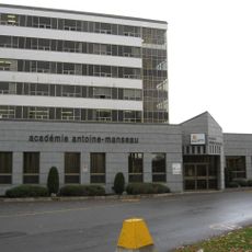
Académie Antoine-Manseau
27.2 km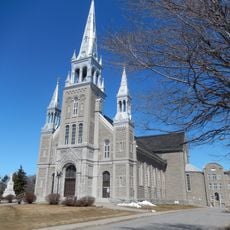
St Charles Borromeo Cathedral
27.1 km
Mont Saint-Louis
3.7 km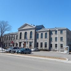
Joliette Courthouse
27 km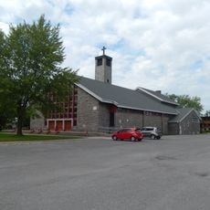
Église du Christ-Roi
26.2 km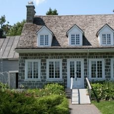
Maison Antoine-Lacombe
23.1 km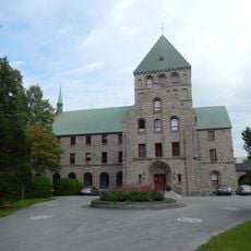
Maison provinciale des Clercs de Saint-Viateur
27 km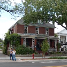
Résidence Simon-Alfred-Lavallée
27.2 km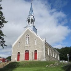
Saint-Jean-de-Matha Church
4.3 km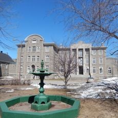
Évêché de Joliette
27.1 km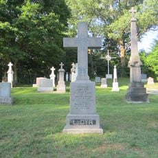
Monument funéraire de Louis Cyr
4.3 km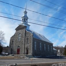
Église Saint-Norbert
22.5 km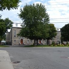
Abbaye Notre-Dame-de-la-Paix
26.2 km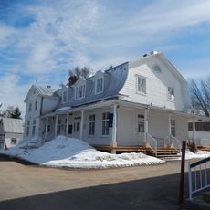
Presbytère de Saint-Didace
25 km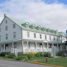
Ancien couvent de Saint-Jean-de-Matha
4.3 km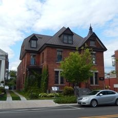
Résidence Sir-Joseph-Mathias-Tellier
27.2 km
Plage du Manoir
16.2 km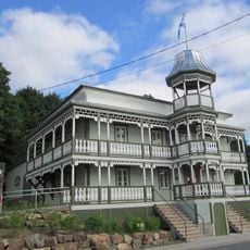
Maison de Louis Cyr
4.4 km
St Louis Square
27 km
Maison provinciale des Sœurs de l'Immaculée-Conception
27.1 km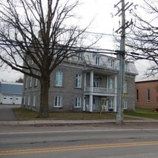
Presbytère de Sainte-Élisabeth
24.6 km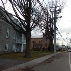
Terrain devant le presbytère de Sainte-Élisabeth
24.6 km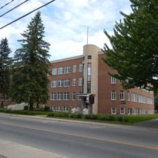
Maison Amélie-Fristel
26.3 km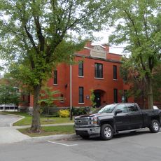
Arsenal
27 km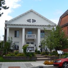
Institut d'artisans et association de bibliothèque
27.2 kmReviews
Visited this place? Tap the stars to rate it and share your experience / photos with the community! Try now! You can cancel it anytime.
Discover hidden gems everywhere you go!
From secret cafés to breathtaking viewpoints, skip the crowded tourist spots and find places that match your style. Our app makes it easy with voice search, smart filtering, route optimization, and insider tips from travelers worldwide. Download now for the complete mobile experience.

A unique approach to discovering new places❞
— Le Figaro
All the places worth exploring❞
— France Info
A tailor-made excursion in just a few clicks❞
— 20 Minutes