Fänerenspitz, Mountain summit in Rüte, Switzerland
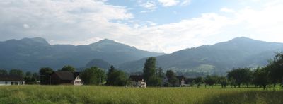
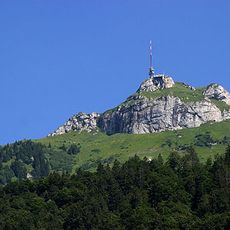
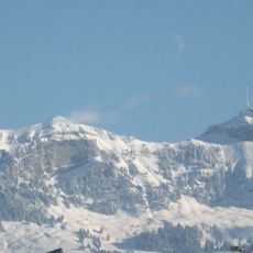
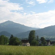
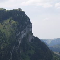
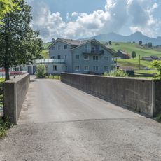
Fänerenspitz is a summit rising to 1506 meters and forms the northernmost point of the Swiss Pre-Alps in Appenzell Innerrhoden canton. The peak stands out clearly in the landscape and divides the valleys on either side of its ridge.
Since medieval times, this mountain has served as a boundary between neighboring communities in the Appenzell region. The peak became a natural marker for territorial divisions and remains relevant to how land is organized today.
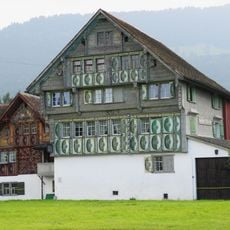
Local people call this mountain "d'Fänere" in the Appenzell dialect, showing how the mountain is woven into everyday speech and regional identity. The name reflects a direct connection between the landscape and the way communities here speak about their surroundings.
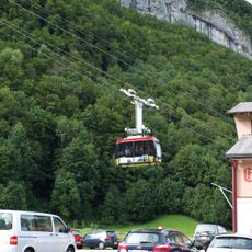
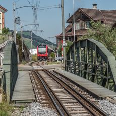
Several hiking trails reach the summit from Eggerstanden and Brülisau, each offering different levels of challenge depending on the route chosen. In winter, the slopes work for snowshoeing and ski touring, though conditions shift with each snowfall.
This peak stands apart from its immediate surroundings and rises noticeably above the nearby Kamor, making it a distinct landmark in the landscape. The isolation gives it an unusual prominence in the local terrain compared to more distant summits.
The community of curious travelers
AroundUs brings together thousands of curated places, local tips, and hidden gems, enriched daily by 60,000 contributors worldwide.