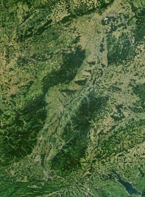
Upper Rhine Plain, Geological lowland between Basel and Frankfurt, Germany and France.
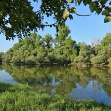
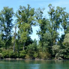
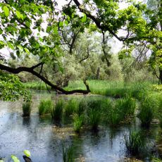
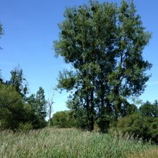
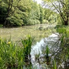
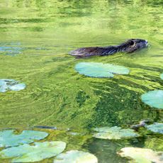
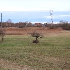
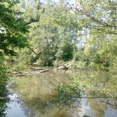
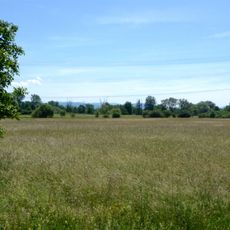
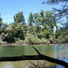
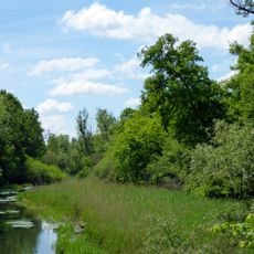
The Upper Rhine Plain stretches 350 kilometers along the river and forms a valley up to 50 kilometers wide between the Vosges and the Black Forest. The Rhine winds through floodplain forests, gravel islands and open fields that are often bordered by levees.
The plain formed around 30 million years ago through tectonic subsidence between two mountain ranges and then filled with sediment. In 1815 the Congress of Vienna declared the Rhine an international waterway and opened the valley to cross-border trade.
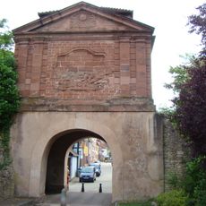
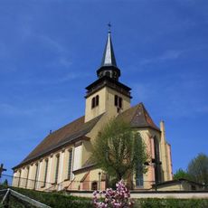
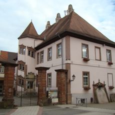
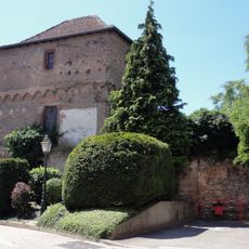
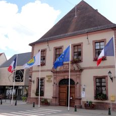
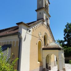
The region links Alemannic dialects in the south with Franconian speech further north, and villages often display timber-framed houses with steep roofs. Vineyards on the slopes and tobacco fields on the flat soils have shaped the local cuisine and landscape for centuries.
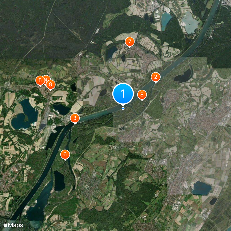
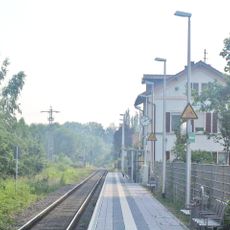
Walking paths and cycling routes cross the plain and often use old levee roads along the river or follow irrigation canals. Train connections link larger towns with smaller villages, while car ferries cross the river at several points.
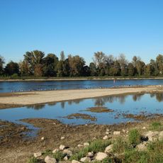
The plain contains one of Europe's largest aquifers flowing beneath the sandy soil and supplying millions of people with drinking water. At several points you can still see the old meanders of the Rhine that shaped the river course before straightening work in the 19th century.
The community of curious travelers
AroundUs brings together thousands of curated places, local tips, and hidden gems, enriched daily by 60,000 contributors worldwide.