
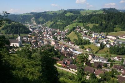
Wolhusen, municipality in the canton of Lucerne, Switzerland
Location: Entlebuch Constituency
Elevation above the sea: 582 m
Shares border with: Entlebuch, Werthenstein
Website: http://wolhusen.ch
GPS coordinates: 47.06167,8.07444
Latest update: March 7, 2025 05:55
Buttisholz Castle
6.2 km
Siebenhengste-Hohgant-Höhle
8.9 km
Former Franciscan cloister
2.4 km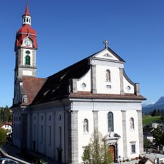
Saint Mauritius Catholic Church
4.7 km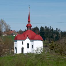
Pilgrimage Chapel St. Ottilien
4.8 km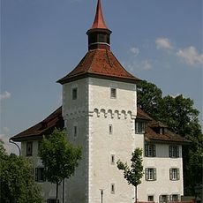
Bailiff's Castle
9 km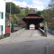
Werthensteinbrücke
2.2 km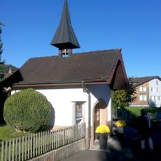
Enniger Kapelle
6.8 km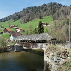
Graben bridge
9 km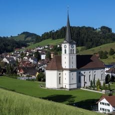
Kirche von Hergiswil bei Willisau
9.2 km
Hasle
9.3 km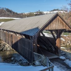
Farbschachenbrücke
8.5 km
Zwischenwassernbrücke
7.7 km
Menzberg
6.4 km
Romoos
6.7 km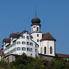
Unsere Liebe Frau pilgrim church
2.4 km
Wolhusen
743 m
Ebnet
4.5 km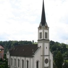
Catholic church St. Andreas
244 m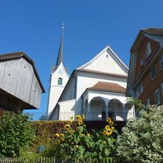
St. Jakobus catholic church
3.5 km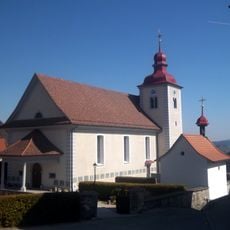
Catholic Church of St. Mary Magdalene
6.6 km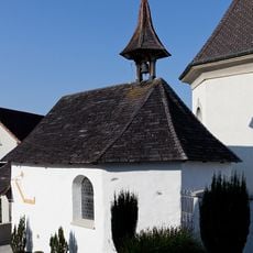
Ossuary chapel near the catholic church
9.3 km
St. Martin Catholic Church
7.8 km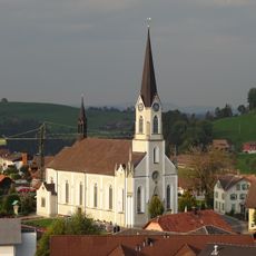
St. Nikolaus catholic church
5 km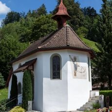
Ossuary chapel in the cemetery
154 m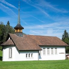
Hübeli wayside chapel
9.2 km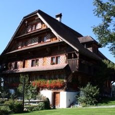
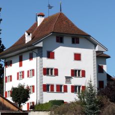
Farmhouse Unter Rot
6.2 km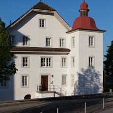
Rectory
4.7 kmVisited this place? Tap the stars to rate it and share your experience / photos with the community! Try now! You can cancel it anytime.
Discover hidden gems everywhere you go!
From secret cafés to breathtaking viewpoints, skip the crowded tourist spots and find places that match your style. Our app makes it easy with voice search, smart filtering, route optimization, and insider tips from travelers worldwide. Download now for the complete mobile experience.

A unique approach to discovering new places❞
— Le Figaro
All the places worth exploring❞
— France Info
A tailor-made excursion in just a few clicks❞
— 20 Minutes