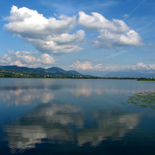
Pfäffikersee, Lake in Zürich canton, Switzerland.
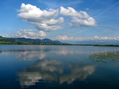
Pfäffikersee is a 3.3 km² lake in the canton of Zürich, Switzerland, stretching 2.5 km north–south between Pfäffikon ZH and Wetzikon at 537 m above sea level. Its deepest point lies 36 m below the surface, and a reed belt almost entirely surrounds the water. The photograph shows the open, dark blue surface with small floating leaves near the foreground shore.
The Pfäffikersee was formed at the end of the last ice age, when the Linth glacier left an over-deepened basin in the molasse and a terminal moraine blocked drainage to the north toward Winterthur. Jakob Messikommer (1828–1917) discovered and researched the prehistoric settlement of Wetzikon–Robenhausen in the southern reeds, now part of the UNESCO World Heritage pile dwellings around the Alps. In Roman times a road from Kempraten to Eschenz ran past the lake, guarded by the Irgenhausen castrum near the east shore.
The lake is a place where people come to swim and spend time outdoors, with public beach areas scattered around its shores. These swimming zones serve as gathering spots for locals throughout the warmer months.
A path circles the entire shore and is accessible to people of all abilities. The flat route allows visitors to enjoy short strolls or longer walks as they prefer.
Beneath the water lie remains of prehistoric villages that have been partially excavated by archaeologists. These submerged structures reveal how people lived in this region thousands of years ago.
The community of curious travelers
AroundUs brings together thousands of curated places, local tips, and hidden gems, enriched daily by 93,458 contributors worldwide.