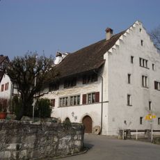
Lägern, Mountain summit between Aargau and Zürich, Switzerland.
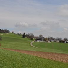
Lägern is a limestone summit rising to 866 meters (2,841 feet) that forms the natural border between the cantons of Aargau and Zürich. The mountain extends across several kilometers and offers access from multiple sides through trails of varying difficulty.
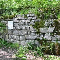
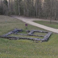
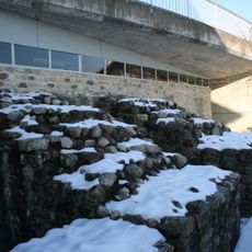
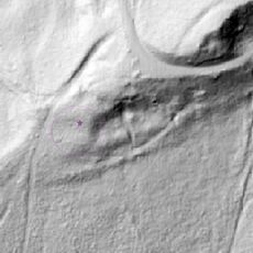
The Lägern's north slope was mined for gypsum at the Gipsgruebe in Oberehrendingen from the Middle Ages; from 1894 to 1902 the material was processed by the Zementfabrik Lägern. At Weiherboden (Otelfingen) and Baleeberen (Boppelsen), pits several metres deep document flint mining in the 4th millennium BC, among the rare prehistoric mining sites in Switzerland. In the 17th century the Hochwacht became part of Zurich's military alarm system, linking watch posts such as those on the Uetliberg and Irchel.
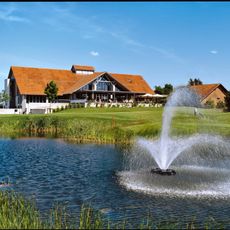
The name Lägern is also spelled Lägeren and in dialect "d Lägere". Since 1895 an excursion restaurant has stood on the Hochwacht, next to a large viewing platform facing south; the nearby radar dome belongs to Skyguide. The Höhenweg along the crest is part of the Jurahöhenweg long-distance trail between Baden and Dielsdorf.
Multiple marked trails ranging from 5 to 28 kilometers allow visits suited to different time budgets and fitness levels. Parking is available at various starting points around the mountain for easy access.
The Lägern's limestone holds Jurassic ammonite fossils, and the geologist Casimir Mösch (1827–1898) made it his preferred research area. At the Gipsgruebe in Oberehrendingen, gypsum was mined from the Middle Ages until the Zementfabrik Lägern processed the material from 1894 to 1902; the abandoned pit still shows the folded rock layers.
The community of curious travelers
AroundUs brings together thousands of curated places, local tips, and hidden gems, enriched daily by 92,653 contributors worldwide.